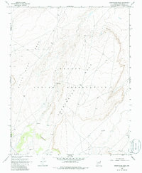
1968 Map of Sweetwater Mesa
USGS Topo · Published 1985About this map
The Navajo Indian Reservation spans this high desert landscape on the boundary of Navajo and Apache Counties. The terrain is dominated by the massive formations of Sweetwater Mesa and White Rock Mesa, which rise sharply above the surrounding flats. Human presence is marked by small settlements and resource points like Al Tee Toh, Toh Ah Glau, and a Cistern at the southern edge. The map captures a moment in the late 1960s when the region's infrastructure was limited to unimproved roads and light-duty trails. Significant landmarks such as Three Black Rocks and the drainage of Burro Wash provide critical orientation points in this expansive area, while industrial activity is hinted at by a Drill Hole and a Borrow Pit, reflecting the geological exploration occurring within the reservation during this period.
Find a feature on this map
12 named features on this map. Tap any name to fly to it.
Don’t see what you’re looking for? This feature index may not catch every label — zoom into the map to look around manually.
Map Details
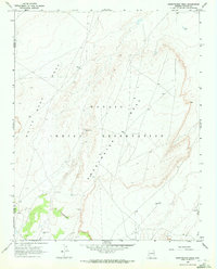
Editions of this 1968 Sweetwater Mesa Map
2 editions found
Other maps of this area

1883 · Marsh Pass
USGS Topo · 1:250,000

1892 · Marsh Pass
USGS Topo · 1:250,000

1892 · Canyon De Chelly
USGS Topo · 1:250,000

1954 · Shiprock
USGS Topo · 1:250,000

1956 · Marble Canyon
USGS Topo · 1:250,000

1958 · Shiprock
USGS Topo · 1:250,000

1959 · Shiprock
USGS Topo · 1:250,000

1959 · Marble Canyon
USGS Topo · 1:250,000

1961 · Marble Canyon
USGS Topo · 1:250,000
1968 · Chilchinbito
USGS Topo · 1:24,000