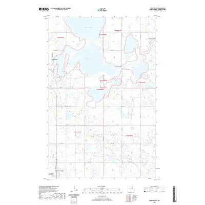
2020 Map of Sweetwater
USGS Topo · Published 2020About this map
Sweetwater Lake and Morrison Lake dominate this North Dakota landscape, connected by the winding path of Edmore Coulee. The settlement of Sweetwater sits just west of the water, defined by a grid of rural sections and local routes like Sweetwater Dr. The terrain is characterized by numerous small depressions and wetlands typical of the prairie pothole region, showing a complex drainage pattern that flows through the coulee system.
Find a feature on this map
24 named features on this map. Tap any name to fly to it.
Don’t see what you’re looking for? This feature index may not catch every label — zoom into the map to look around manually.
Map Details
Editions of this 2020 Sweetwater Map
This is the sole edition of this map. No revisions or reprints were ever made.
Other maps of this area
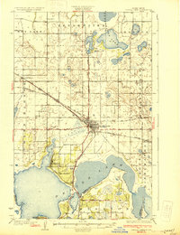
1931 · Devils Lake
USGS Topo · 1:62,500
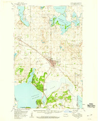
1950 · Devils Lake
USGS Topo · 1:62,500
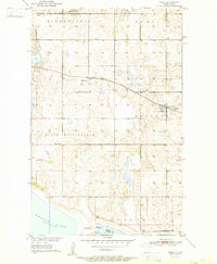
1951 · Crary
USGS Topo · 1:24,000
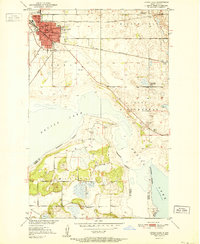
1951 · Devils Lake
USGS Topo · 1:24,000
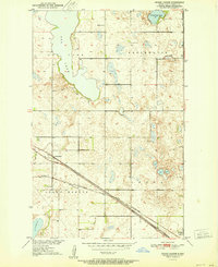
1951 · Grand Harbor
USGS Topo · 1:24,000
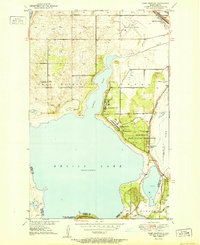
1951 · Camp Grafton
USGS Topo · 1:24,000
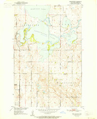
1951 · Sweetwater
USGS Topo · 1:24,000
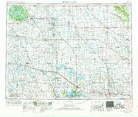
1953 · Devils Lake
USGS Topo · 1:250,000
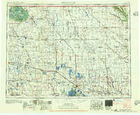
1956 · Devils Lake
USGS Topo · 1:250,000
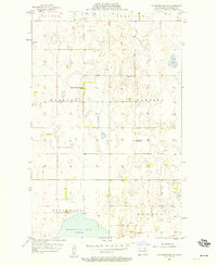
1957 · Starkweather SE
USGS Topo · 1:24,000