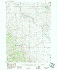
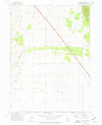
1985 Map of Sweetzer Canyon
USGS Topo · Published 1985About this map
The Sawtooth National Forest dominates the southwestern portion of this mid-1980s topographical study, marking a landscape defined by dramatic elevation changes and a complex system of drainage basins. The area is characterized by several major topographic landmarks, including the heights of the Sublett Range to the east and the Sawtooth Mountains to the west. This territory is heavily dissected by narrow canyons, most notably Sweetzer Canyon and Burnt Canyon, which dictate the local travel routes and seasonal water flow.
Find a feature on this map
18 named features on this map. Tap any name to fly to it.
Don’t see what you’re looking for? This feature index may not catch every label — zoom into the map to look around manually.
Map Details
Editions of this 1985 Sweetzer Canyon Map
This is the sole edition of this map. No revisions or reprints were ever made.
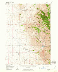
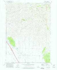
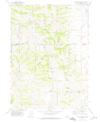
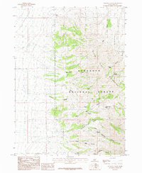
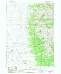
Other maps of this area

1954 · Pocatello
USGS Topo · 1:250,000

1958 · Pocatello
USGS Topo · 1:250,000
1958 · Sublett
USGS Topo · 1:62,500

1959 · Strevell
USGS Topo · 1:62,500
1973 · Juniper
USGS Topo · 1:24,000
1973 · Sublett Troughs
USGS Topo · 1:24,000
1973 · Black Pine
USGS Topo · 1:24,000
1984 · Malad City
USGS Topo · 1:100,000
1985 · Sandrock Canyon
USGS Topo · 1:24,000
1985 · Strevell
USGS Topo · 1:24,000