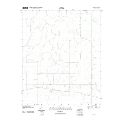
2010 Map of Swink
USGS Topo · Published 2010About this map
Swink Cemetery sits near the southern edge of this landscape, a critical landmark for genealogists and local historians documenting this corner of McCurtain County. The area is defined by a dendritic network of waterways, including Pine Creek, Clear Creek, and Doaksville Creek, which drain the southern Oklahoma terrain. A grid of rural roads like N 4410 Rd and E 2030 Rd organizes the countryside, while more idiosyncratic routes like Tram Rd suggest older pathways through the timber or hills. This survey records the rural layout before significant modern development, showing the proximity of small plots and family holdings along the Front St corridor. The geography transitions between these named branches and creeks, creating a series of well-defined drainage basins that have historically influenced the placement of farms and cemeteries.
Find a feature on this map
28 named features on this map. Tap any name to fly to it.
Don’t see what you’re looking for? This feature index may not catch every label — zoom into the map to look around manually.
Map Details
Editions of this 2010 Swink Map
This is the sole edition of this map. No revisions or reprints were ever made.
Other maps of this area

1901 · Alikchi
USGS Topo · 1:125,000

1950 · Mcalester
USGS Topo · 1:250,000

1951 · Frogville
USGS Topo · 1:24,000

1951 · Millerton
USGS Topo · 1:24,000

1951 · Kiomatia
USGS Topo · 1:24,000

1953 · Texarkana
USGS Topo · 1:250,000

1956 · Texarkana
USGS Topo · 1:250,000

1962 · McAlester
USGS Topo · 1:250,000

1962 · Wright City
USGS Topo · 1:24,000

1962 · Sobol
USGS Topo · 1:24,000