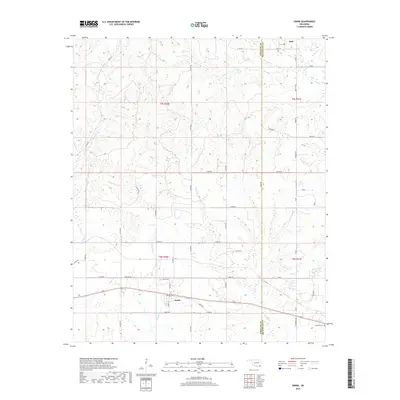
2019 Map of Swink
USGS Topo · Published 2019About this map
The borderlands of Choctaw Co and McCurtain Co are defined by the winding paths of several regional tributaries, most notably Doaksville Cr and Pine Cr. Near the southern edge, the settlement of Swink serves as a local focal point, surrounded by a grid of rural routes including Heritage Rd and South Rd. The landscape is etched with the memory of former transport networks, such as Tram Rd in the northwest, which hints at the area's historical timber or agricultural hauling routes. Genealogists will find the Swink Cem and Vailliant Cem as important markers of local family history. Small communities like Rufe in the northeast anchor the rural sections of the township, while the drainage of Clear Cr and Cedar Cr provides a natural structure to the wooded and agricultural terrain of the t5s r20e and t6s r20e land blocks.
Find a feature on this map
50 named features on this map. Tap any name to fly to it.
Don’t see what you’re looking for? This feature index may not catch every label — zoom into the map to look around manually.
Map Details
Editions of this 2019 Swink Map
This is the sole edition of this map. No revisions or reprints were ever made.
Other maps of this area

1901 · Alikchi
USGS Topo · 1:125,000

1950 · Mcalester
USGS Topo · 1:250,000

1951 · Frogville
USGS Topo · 1:24,000

1951 · Millerton
USGS Topo · 1:24,000

1951 · Kiomatia
USGS Topo · 1:24,000

1953 · Texarkana
USGS Topo · 1:250,000

1956 · Texarkana
USGS Topo · 1:250,000

1962 · McAlester
USGS Topo · 1:250,000

1962 · Wright City
USGS Topo · 1:24,000

1962 · Sobol
USGS Topo · 1:24,000