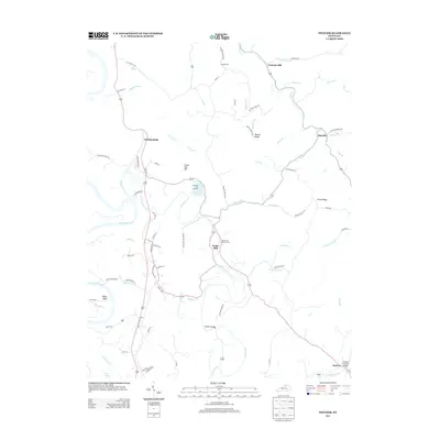
2013 Map of Switzer
USGS Topo · Published 2013About this map
The Kentucky River carves a winding path through this portion of Franklin County, defining the landscape around the community of Swallowfield. In this 2013 survey, the area's rural character is marked by the presence of the Frankfort Fish Hatchery along Elkhorn Creek and several long-standing local landmarks that speak to the region's agricultural and civil history. The road network connects small nodes like Peaks Mill and Elmville, following the natural drainage of numerous branches such as Sulphur Lick Creek and Long Branch.
Find a feature on this map
83 named features on this map. Tap any name to fly to it.
Don’t see what you’re looking for? This feature index may not catch every label — zoom into the map to look around manually.
Map Details
Editions of this 2013 Switzer Map
This is the sole edition of this map. No revisions or reprints were ever made.
Other maps of this area

1906 · Lockport
USGS Topo · 1:48,000

1906 · Georgetown
USGS Topo · 1:62,500

1908 · Lockport
USGS Topo · 1:62,500

1908 · Georgetown
USGS Topo · 1:62,500

1922 · Frankfort
USGS Topo · 1:48,000

1924 · Frankfort
USGS Topo · 1:62,500

1939 · Sadieville
USGS Topo · 1:62,500

1952 · Midway
USGS Topo · 1:24,000

1953 · Monterey
USGS Topo · 1:24,000

1953 · Gratz
USGS Topo · 1:24,000