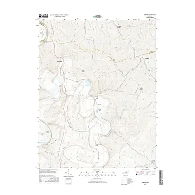
2016 Map of Switzer
USGS Topo · Published 2016About this map
Kentucky River loops through the western edge of this landscape, carving deep bends like O'Nan Bend near Lecompte Bottom. The interior is defined by the winding course of Elkhorn Creek, which supports a history of water-powered industry at sites like Peaks Mill and Tacketts Mill. These small industrial hubs once anchored the rural economy of Franklin and Owen counties, providing essential services to nearby residents in Swallowfield and Elmville.
Find a feature on this map
70 named features on this map. Tap any name to fly to it.
Don’t see what you’re looking for? This feature index may not catch every label — zoom into the map to look around manually.
Map Details
Editions of this 2016 Switzer Map
This is the sole edition of this map. No revisions or reprints were ever made.
Other maps of this area

1906 · Lockport
USGS Topo · 1:48,000

1906 · Georgetown
USGS Topo · 1:62,500

1908 · Lockport
USGS Topo · 1:62,500

1908 · Georgetown
USGS Topo · 1:62,500

1922 · Frankfort
USGS Topo · 1:48,000

1924 · Frankfort
USGS Topo · 1:62,500

1939 · Sadieville
USGS Topo · 1:62,500

1952 · Midway
USGS Topo · 1:24,000

1953 · Monterey
USGS Topo · 1:24,000

1953 · Gratz
USGS Topo · 1:24,000