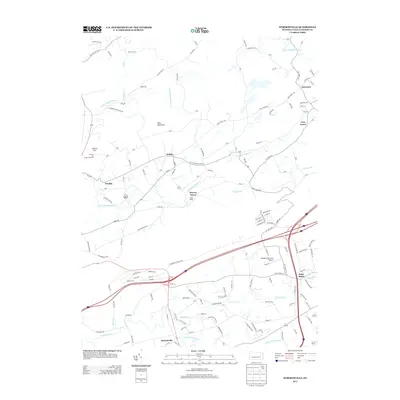
2013 Map of Sybertsville
USGS Topo · Published 2013About this map
Hess Mountain and the high point of Council Cup overlook a network of creek valleys and small Luzerne County settlements in this 2013 survey. The landscape is defined by the winding courses of Big Wapwallopen Cr and Nescopeck Cr, which historically shaped the placement of local hamlets. Small residential clusters like Hobbie, Scanlin, and Moyers Grove are connected by a dense grid of township roads and routes such as St Marys Rd. In the southern portion of the map, the industrial and transit corridor is anchored by the junction of major interstate highways near Saint Johns and Sybertsville. Local aviation and recreation are represented by the Double D Skyranch Airport and Camp Keller, while family-named roads like Yocum Rd and Bieski Rd offer valuable data for genealogical research into the area's rural history.
Find a feature on this map
150 named features on this map. Tap any name to fly to it.
Don’t see what you’re looking for? This feature index may not catch every label — zoom into the map to look around manually.
Map Details
Editions of this 2013 Sybertsville Map
This is the sole edition of this map. No revisions or reprints were ever made.
Other maps of this area

1889 · Hazleton
USGS Topo · 1:62,500

1891 · Wilkesbarre
USGS Topo · 1:62,500

1891 · Hazleton
USGS Topo · 1:62,500

1892 · Mahanoy
USGS Topo · 1:62,500

1893 · Hazleton
USGS Topo · 1:62,500

1893 · Mahanoy
USGS Topo · 1:62,500

1894 · Shickshinny
USGS Topo · 1:62,500

1894 · Wilkesbarre
USGS Topo · 1:62,500

1943 · Scranton
USGS Topo · 1:125,000

1944 · Newark
USGS Topo · 1:250,000
Featured Places
- Dorrance Township, PA
- Conyngham Township, PA
- Slocum Township, PA
- Nescopeck Township, PA
- Feys Grove, Dorrance Township