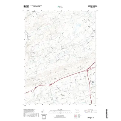
2019 Map of Sybertsville
USGS Topo · Published 2019About this map
Nescopeck Mountain anchors the center of this southern Luzerne County landscape, separating the residential expansions of Drums and Saint Johns from the northern rural drainages of Big Wapwallopen Creek. The settlement pattern follows a series of valley floors and historic road corridors, where small clusters like Moyers Grove and Hobbie maintain their distinct identities alongside numerous family and denominational cemeteries. Genealogists will find a high density of burial sites, including the Old River Church Cemetery and the Everard Family Cemetery, reflecting the deep ancestral roots of the German and Scots-Irish families who settled these ridges.
Find a feature on this map
156 named features on this map. Tap any name to fly to it.
Don’t see what you’re looking for? This feature index may not catch every label — zoom into the map to look around manually.
Map Details
Editions of this 2019 Sybertsville Map
This is the sole edition of this map. No revisions or reprints were ever made.
Other maps of this area

1889 · Hazleton
USGS Topo · 1:62,500

1891 · Wilkesbarre
USGS Topo · 1:62,500

1891 · Hazleton
USGS Topo · 1:62,500

1892 · Mahanoy
USGS Topo · 1:62,500

1893 · Hazleton
USGS Topo · 1:62,500

1893 · Mahanoy
USGS Topo · 1:62,500

1894 · Shickshinny
USGS Topo · 1:62,500

1894 · Wilkesbarre
USGS Topo · 1:62,500

1943 · Scranton
USGS Topo · 1:125,000

1944 · Newark
USGS Topo · 1:250,000
Featured Places
- Dorrance Township, PA
- Conyngham Township, PA
- Slocum Township, PA
- Nescopeck Township, PA
- Feys Grove, Dorrance Township