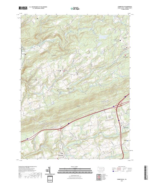
2023 Map of Sybertsville
USGS Topo · Published 2023About this map
Nescopeck Mountain forms a prominent ridge across this part of Luzerne County, separating the southern valley around Sybertsville and Drums from the northern drainage basins. The landscape is characterized by a high density of family and community burial grounds, such as the Silver Maple Cem near Hobbie and the Everard Family Cem tucked away near Moyers Grove. This distribution of cemeteries, alongside churches like the Saint James Lutheran Cem, suggests a long-settled rural community where family lineages remain deeply rooted in the land.
Find a feature on this map
138 named features on this map. Tap any name to fly to it.
Don’t see what you’re looking for? This feature index may not catch every label — zoom into the map to look around manually.
Map Details
Editions of this 2023 Sybertsville Map
This is the sole edition of this map. No revisions or reprints were ever made.
Other maps of this area

1889 · Hazleton
USGS Topo · 1:62,500

1891 · Wilkesbarre
USGS Topo · 1:62,500

1891 · Hazleton
USGS Topo · 1:62,500

1892 · Mahanoy
USGS Topo · 1:62,500

1893 · Hazleton
USGS Topo · 1:62,500

1893 · Mahanoy
USGS Topo · 1:62,500

1894 · Shickshinny
USGS Topo · 1:62,500

1894 · Wilkesbarre
USGS Topo · 1:62,500

1943 · Scranton
USGS Topo · 1:125,000

1944 · Newark
USGS Topo · 1:250,000
Featured Places
- Dorrance Township, PA
- Conyngham Township, PA
- Slocum Township, PA
- Nescopeck Township, PA
- Hollenback Township, PA