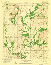
1959 Map of Sycamore
USGS Topo · Published 1960About this map
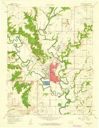
The Verdigris River and Elk River converge in this Montgomery County landscape, shaping a terrain defined by bottomlands and the extractive industries of the late 1950s. The settlement of Sycamore sits at a rail junction where the Missouri Pacific line runs north-south, while the Atchison Topeka and Santa Fe skirts the southern edge. Numerous oil wells and scattered gravel pits illustrate the mid-century industrial footprint on the land, particularly in the vicinity of West Cherry.
Find a feature on this map
31 named features on this map. Tap any name to fly to it.
Don’t see what you’re looking for? This feature index may not catch every label — zoom into the map to look around manually.
Map Details
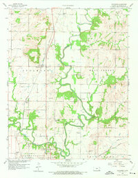
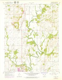
Editions of this 1959 Sycamore Map
3 editions found
Other maps of this area

1886 · Independence
USGS Topo · 1:125,000

1894 · Independence
USGS Topo · 1:125,000

1905 · Independence
USGS Topo · 1:125,000

1947 · Joplin
USGS Topo · 1:250,000

1949 · Joplin
USGS Topo · 1:250,000

1954 · Joplin
USGS Topo · 1:250,000

1958 · Joplin
USGS Topo · 1:250,000

1959 · Joplin
USGS Topo · 1:250,000
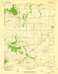
1959 · Bolton
USGS Topo · 1:24,000
1959 · Neodesha
USGS Topo · 1:24,000