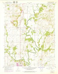
1959 Map of Sycamore
USGS Topo · Published 1979About this map
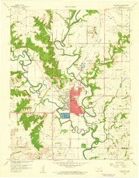
The confluence of the Verdigris River and Elk River serves as the geographic anchor for this mid-century survey of Montgomery County. To the north, the small settlement of Sycamore sits along the Pacific Missouri rail line, surrounded by several family and community burial grounds including Krope Cem and the Radical Cem. The landscape reflects a mix of traditional agriculture and industrial activity, evidenced by numerous Oil Wells peppered across the Sycamore and West Cherry townships.
Find a feature on this map
27 named features on this map. Tap any name to fly to it.
Don’t see what you’re looking for? This feature index may not catch every label — zoom into the map to look around manually.
Map Details
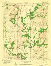
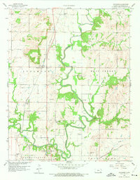
Editions of this 1959 Sycamore Map
3 editions found
Other maps of this area

1886 · Independence
USGS Topo · 1:125,000

1894 · Independence
USGS Topo · 1:125,000

1905 · Independence
USGS Topo · 1:125,000

1947 · Joplin
USGS Topo · 1:250,000

1949 · Joplin
USGS Topo · 1:250,000

1954 · Joplin
USGS Topo · 1:250,000

1958 · Joplin
USGS Topo · 1:250,000

1959 · Joplin
USGS Topo · 1:250,000
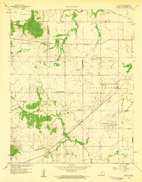
1959 · Bolton
USGS Topo · 1:24,000
1959 · Neodesha
USGS Topo · 1:24,000