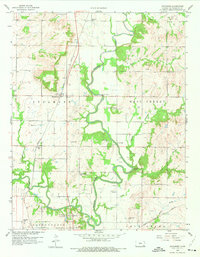
1959 Map of Sycamore
USGS Topo · Published 1975About this map
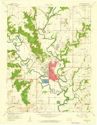
The confluence of the Verdigris River and the Elk River anchors this study of Montgomery County during the late 1950s. The settlement of Sycamore sits at a geographic crossroads, served by the Missouri Pacific railroad as it cuts through the western portion of the map. This era shows a landscape where small rural institutions remained central to community life, with several local schools like Fairview Sch and Larimer Sch spaced across the countryside.
Find a feature on this map
33 named features on this map. Tap any name to fly to it.
Don’t see what you’re looking for? This feature index may not catch every label — zoom into the map to look around manually.
Map Details
Editions of this 1959 Sycamore Map
3 editions found
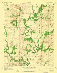
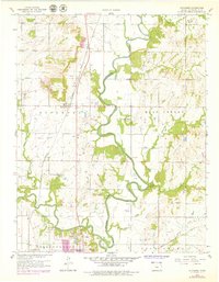
Other maps of this area

1886 · Independence
USGS Topo · 1:125,000

1894 · Independence
USGS Topo · 1:125,000

1905 · Independence
USGS Topo · 1:125,000

1947 · Joplin
USGS Topo · 1:250,000

1949 · Joplin
USGS Topo · 1:250,000

1954 · Joplin
USGS Topo · 1:250,000

1958 · Joplin
USGS Topo · 1:250,000

1959 · Joplin
USGS Topo · 1:250,000
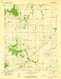
1959 · Bolton
USGS Topo · 1:24,000
1959 · Neodesha
USGS Topo · 1:24,000