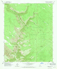
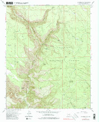
1963 Map of Sycamore Point
USGS Topo · Published 1971About this map
Sycamore Canyon carves a deep, serpentine path through this 1963 survey of the Arizona high country, where the borders of the Kaibab National Forest, Coconino National Forest, and Prescott National Forest converge. The landscape is a complex network of drainage basins and water sources critical to the region's management, featuring numerous cattle tanks and isolated springs like Babes Hole Spring and Geronimo Spring. Human activity is centered on forest oversight and access, anchored by the Turkey Butte Lookout and the Taylor Cabin Trail descending toward the canyon floor. From the high vantage of Sycamore Point, the map details a rugged transition from timbered flats like Thumb Flat to the dramatic verticality of the canyon walls. The naming of features like Railroad Draw Tanks and Rattlesnake Burn reflects a long history of ranching, fire management, and early transportation routes in this part of Coconino County.
Find a feature on this map
40 named features on this map. Tap any name to fly to it.
Don’t see what you’re looking for? This feature index may not catch every label — zoom into the map to look around manually.
Map Details
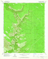
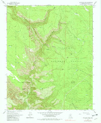
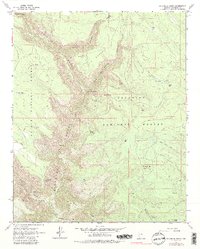
Editions of this 1963 Sycamore Point Map
5 editions found
Other maps of this area

1886 · San Francisco Mtns
USGS Topo · 1:250,000

1886 · Chino
USGS Topo · 1:250,000

1887 · Verde
USGS Topo · 1:250,000

1887 · Prescott
USGS Topo · 1:250,000

1891 · San Francisco Mtns
USGS Topo · 1:250,000

1891 · Chino
USGS Topo · 1:250,000

1892 · Verde
USGS Topo · 1:250,000

1892 · Prescott
USGS Topo · 1:250,000

1894 · San Francisco Mtns
USGS Topo · 1:250,000

1899 · San Francisco Mtns
USGS Topo · 1:250,000