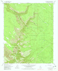
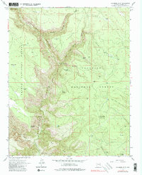
1963 Map of Sycamore Point
USGS Topo · Published 1982About this map
Sycamore Canyon carves a massive divide across this landscape, where the high plateaus of northern Arizona meet the complex drainage systems of the Mogollon Rim. In the early 1960s, this area served as a critical junction for three major federal land holdings: the Kaibab National Forest, Coconino National Forest, and Prescott National Forest. The map documents a network of remote water sources essential for forest management and livestock, including Kennedy Dam, Geronimo Spring, and Mooney Tank. High-altitude vantage points like the Turkey Butte Lookout and Sycamore Point overlook the rugged descent toward the West Fork Oak Creek. This topographic record preserves the locations of early backcountry routes such as the Rankin Trail and Taylor Cabin Trail, alongside distinct landmarks like Thumb Flat and the Rattlesnake Burn.
Find a feature on this map
41 named features on this map. Tap any name to fly to it.
Don’t see what you’re looking for? This feature index may not catch every label — zoom into the map to look around manually.
Map Details
Editions of this 1963 Sycamore Point Map
5 editions found
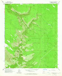
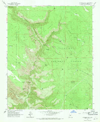
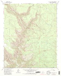
Other maps of this area

1886 · San Francisco Mtns
USGS Topo · 1:250,000

1886 · Chino
USGS Topo · 1:250,000

1887 · Verde
USGS Topo · 1:250,000

1887 · Prescott
USGS Topo · 1:250,000

1891 · San Francisco Mtns
USGS Topo · 1:250,000

1891 · Chino
USGS Topo · 1:250,000

1892 · Verde
USGS Topo · 1:250,000

1892 · Prescott
USGS Topo · 1:250,000

1894 · San Francisco Mtns
USGS Topo · 1:250,000

1899 · San Francisco Mtns
USGS Topo · 1:250,000