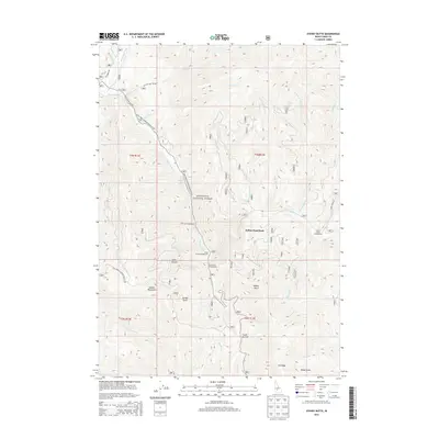
2013 Map of Sydney Butte
USGS Topo · Published 2013About this map
Worswick Hot Springs and the surrounding high-elevation terrain of the Sawtooth National Forest define this section of the Soldier Mountains. The landscape is a network of drainage basins and ridges, where Little Smoky Cr and Big Smoky Creek serve as the primary hydrologic corridors. These valley floors are centers for seasonal activity, as evidenced by Narrows Campground, Little Smoky Campground, and Five Points Campground. Notable geological landmarks like Sydney Butte and the distinctively named Indian Head Rock provide vertical punctuation in a region dominated by steep gulches such as McHan Gulch and Wash Canyon. Access through this backcountry is facilitated by the Couch Summit pass and several Forest Service routes, including Natl Forest Develop Road 227 RD, which follows the contours of the creek beds.
Find a feature on this map
39 named features on this map. Tap any name to fly to it.
Don’t see what you’re looking for? This feature index may not catch every label — zoom into the map to look around manually.
Map Details
Editions of this 2013 Sydney Butte Map
This is the sole edition of this map. No revisions or reprints were ever made.
Other maps of this area

1900 · Sawtooth
USGS Topo · 1:125,000

1955 · Hailey
USGS Topo · 1:250,000

1957 · Fairfield
USGS Topo · 1:62,500

1957 · Blaine
USGS Topo · 1:62,500

1959 · Hailey
USGS Topo · 1:250,000

1962 · Hailey
USGS Topo · 1:250,000

1970 · Sydney Butte
USGS Topo · 1:24,000

1970 · Paradise Peak
USGS Topo · 1:24,000
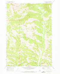
1970 · Newman Peak
USGS Topo · 1:24,000

1970 · Dollarhide Mtn
USGS Topo · 1:24,000