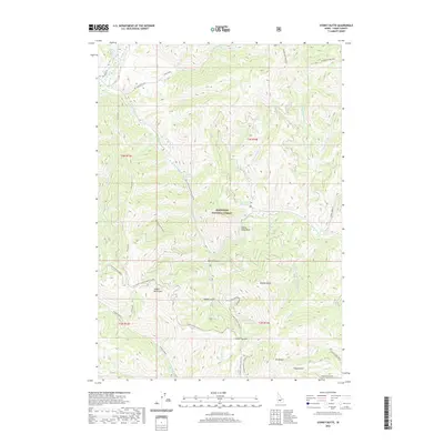
2020 Map of Sydney Butte
USGS Topo · Published 2020About this map
Sawtooth National Forest dominates this section of Camas County, where the high ridges of the Soldier Mountains meet a complex drainage system of creeks and canyons. The presence of Worswick Hot Springs and Preis Hot Spring suggests the geothermal activity common to this part of the Idaho wilderness. High-altitude landmarks like Sydney Butte, Grindstone Big Peak, and the distinctive Indian Head Rock serve as primary navigational anchors for the area. The map illustrates a landscape defined by seasonal access and rugged transit, featuring the Couch Summit crossing and several forest development roads. Waterways such as Big Smoky Creek and the N Fork Soldier Cr carve deep through the terrain, creating significant landforms like Wash Canyon and McHan Gulch.
Find a feature on this map
48 named features on this map. Tap any name to fly to it.
Don’t see what you’re looking for? This feature index may not catch every label — zoom into the map to look around manually.
Map Details
Editions of this 2020 Sydney Butte Map
This is the sole edition of this map. No revisions or reprints were ever made.
Other maps of this area

1900 · Sawtooth
USGS Topo · 1:125,000

1955 · Hailey
USGS Topo · 1:250,000

1957 · Fairfield
USGS Topo · 1:62,500

1957 · Blaine
USGS Topo · 1:62,500

1959 · Hailey
USGS Topo · 1:250,000

1962 · Hailey
USGS Topo · 1:250,000

1970 · Sydney Butte
USGS Topo · 1:24,000

1970 · Paradise Peak
USGS Topo · 1:24,000
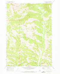
1970 · Newman Peak
USGS Topo · 1:24,000

1970 · Dollarhide Mtn
USGS Topo · 1:24,000