
1970 Map of Sydney Butte
USGS Topo · Published 1973About this map
Sawtooth National Forest dominates the high-elevation landscape of this 1970 survey, where the Soldier Mountains meet the northern drainages of the Big Smoky Creek basin. The area is defined by a network of drainage systems including Worswick Creek, East Fork Creek, and Little Smoky Creek, which supported early 20th-century resource extraction. Evidence of this mineral history is visible at the Five Points Mine and a named Prospect near Carrie Creek.
Find a feature on this map
44 named features on this map. Tap any name to fly to it.
Don’t see what you’re looking for? This feature index may not catch every label — zoom into the map to look around manually.
Map Details
Editions of this 1970 Sydney Butte Map
This is the sole edition of this map. No revisions or reprints were ever made.
Other maps of this area

1900 · Sawtooth
USGS Topo · 1:125,000

1955 · Hailey
USGS Topo · 1:250,000

1957 · Fairfield
USGS Topo · 1:62,500

1957 · Blaine
USGS Topo · 1:62,500

1959 · Hailey
USGS Topo · 1:250,000

1962 · Hailey
USGS Topo · 1:250,000

1970 · Paradise Peak
USGS Topo · 1:24,000
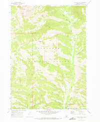
1970 · Newman Peak
USGS Topo · 1:24,000

1970 · Dollarhide Mtn
USGS Topo · 1:24,000
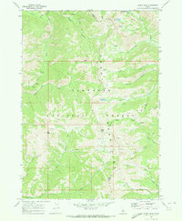
1970 · Baker Peak
USGS Topo · 1:24,000