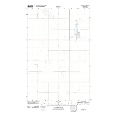
2011 Map of Sykeston
USGS Topo · Published 2011About this map
Sykeston serves as the focal point of this Wells County landscape, situated where the meandering Pipestem Creek is captured by the Sykeston Dam. This engineering creates Lake Hiawatha, a central water feature that defines the town's northern edge and local geography. The grid of the settlement is clearly delineated, showing the transition from residential streets like Maine St and Hanson Ave NE to the surrounding section-line roads that organize the North Dakota prairie. To the southeast of the main town site, Saint Elizabeth Cemetery provides a primary reference point for genealogists and local historians tracking the community's ancestral roots. The map documents a classic Great Plains agricultural hub, where the intersection of water management and rural infrastructure creates a distinct footprint in the heart of the state.
Find a feature on this map
26 named features on this map. Tap any name to fly to it.
Don’t see what you’re looking for? This feature index may not catch every label — zoom into the map to look around manually.
Map Details
Editions of this 2011 Sykeston Map
This is the sole edition of this map. No revisions or reprints were ever made.
Other maps of this area

1948 · Cathay
USGS Topo · 1:62,500

1948 · Fessenden
USGS Topo · 1:62,500

1949 · Cathay
USGS Topo · 1:24,000

1949 · Cathay SE
USGS Topo · 1:24,000

1949 · Emrick
USGS Topo · 1:24,000

1951 · Heaton
USGS Topo · 1:24,000

1951 · Dover
USGS Topo · 1:24,000

1951 · Sykeston
USGS Topo · 1:24,000

1952 · New Rockford
USGS Topo · 1:250,000

1956 · New Rockford
USGS Topo · 1:250,000