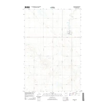
2014 Map of Sykeston
USGS Topo · Published 2014About this map
Sykeston sits at the center of this rural Wells County landscape, organized by the winding path of Pipestem Cr and the waters of Lake Hiawatha. The map illustrates the structured grid of the northern Great Plains, where section-line roads like 50th Ave NE and 54th Ave NE delineate the expansive agricultural surroundings. Near the town center, Saint Elizabeth Cem serves as a significant landmark for local history and genealogy. The topography is defined by the subtle drainage patterns of the creek and the varied elevations around the local lake, reflecting a community deeply tied to its water sources and the surrounding prairie terrain.
Find a feature on this map
21 named features on this map. Tap any name to fly to it.
Don’t see what you’re looking for? This feature index may not catch every label — zoom into the map to look around manually.
Map Details
Editions of this 2014 Sykeston Map
This is the sole edition of this map. No revisions or reprints were ever made.
Other maps of this area

1948 · Cathay
USGS Topo · 1:62,500

1948 · Fessenden
USGS Topo · 1:62,500

1949 · Cathay
USGS Topo · 1:24,000

1949 · Cathay SE
USGS Topo · 1:24,000

1949 · Emrick
USGS Topo · 1:24,000

1951 · Heaton
USGS Topo · 1:24,000

1951 · Dover
USGS Topo · 1:24,000

1951 · Sykeston
USGS Topo · 1:24,000

1952 · New Rockford
USGS Topo · 1:250,000

1956 · New Rockford
USGS Topo · 1:250,000