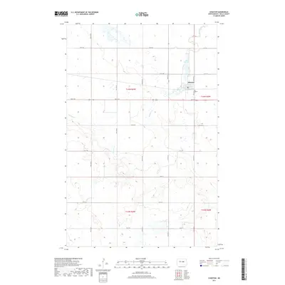
2017 Map of Sykeston
USGS Topo · Published 2017About this map
Sykeston stands at the heart of this Wells County landscape, situated on the northern banks of Lake Hiawatha. This small community serves as a central hub within the vast agricultural grid of the Great Plains, defined by the intersection of 3rd St NE and 54th Ave NE. To the southeast of the main settlement lies Saint Elizabeth Cem, a key landmark for local genealogists and historians. The surrounding terrain is naturally carved by the meandering path of Pipestem Cr, which winds through the prairie south of town. The map provides a detailed view of the township and range system, specifically noting t146n r69w and t146n r68w, reflecting the enduring land divisions that have organized the region's homesteads and farms for generations.
Find a feature on this map
25 named features on this map. Tap any name to fly to it.
Don’t see what you’re looking for? This feature index may not catch every label — zoom into the map to look around manually.
Map Details
Editions of this 2017 Sykeston Map
This is the sole edition of this map. No revisions or reprints were ever made.
Other maps of this area

1948 · Cathay
USGS Topo · 1:62,500

1948 · Fessenden
USGS Topo · 1:62,500

1949 · Cathay
USGS Topo · 1:24,000

1949 · Cathay SE
USGS Topo · 1:24,000

1949 · Emrick
USGS Topo · 1:24,000

1951 · Heaton
USGS Topo · 1:24,000

1951 · Dover
USGS Topo · 1:24,000

1951 · Sykeston
USGS Topo · 1:24,000

1952 · New Rockford
USGS Topo · 1:250,000

1956 · New Rockford
USGS Topo · 1:250,000