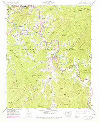
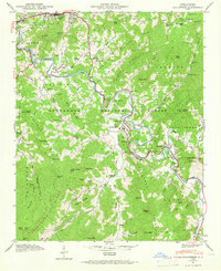
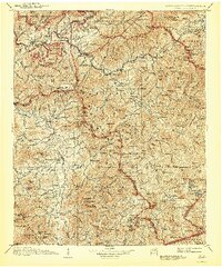
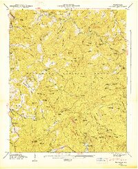
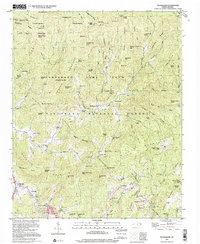
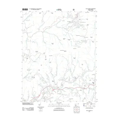
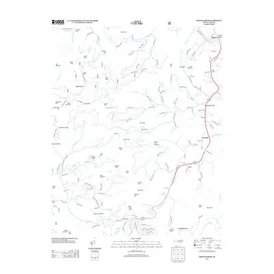
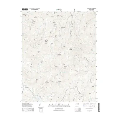
1946 Map of Sylva South
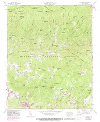
USGS Topo · Published 1978About this map
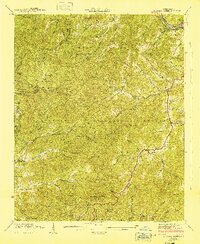
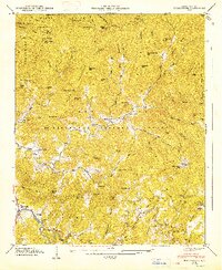
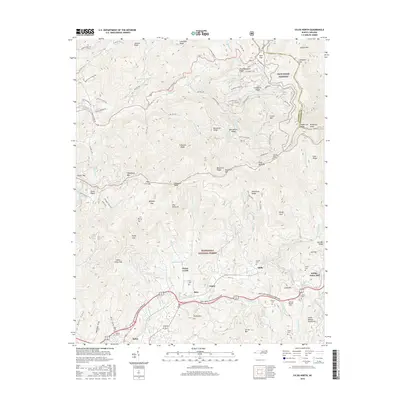
Western Carolina Teachers College anchors the community of Cullowhee, where the Tuckasegee River bends sharply through the mountain valley. This 1946 survey, with updates from the 1970s, captures the educational and social heart of Jackson County. To the north, the town of Sylva is situated along the Southern railroad and Scott Creek, serving as a vital transportation hub for the region. The map reveals a landscape defined by small river-bottom settlements and high-elevation ridges like Cullowhee Mountain and Black Mountain.
Find a feature on this map
85 named features on this map. Tap any name to fly to it.
Don’t see what you’re looking for? This feature index may not catch every label — zoom into the map to look around manually.
Map Details
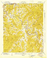
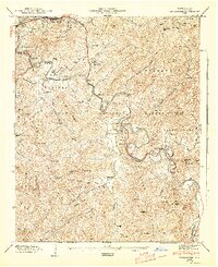
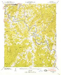
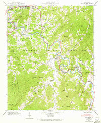
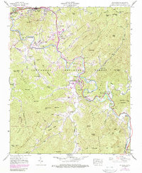
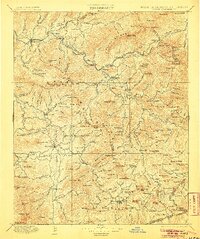
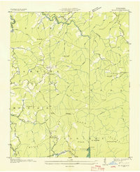
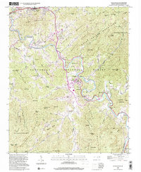
Editions of this 1946 Sylva South Map
8 editions found
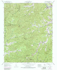
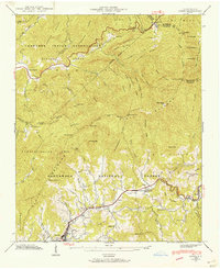
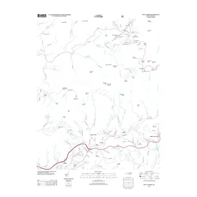
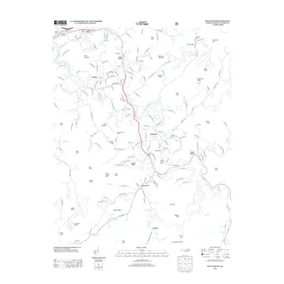
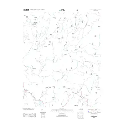
Historical Maps of Cullowhee Through Time
44 maps found

1891 Cowee
Jackson County, NC
1897 Cowee
Jackson County, NC
1907 Cowee
Jackson County, NC

1935 Addie
Jackson County, NC
1935 Big Ridge
Jackson County, NC

1935 Tuckaseigee
Jackson County, NC

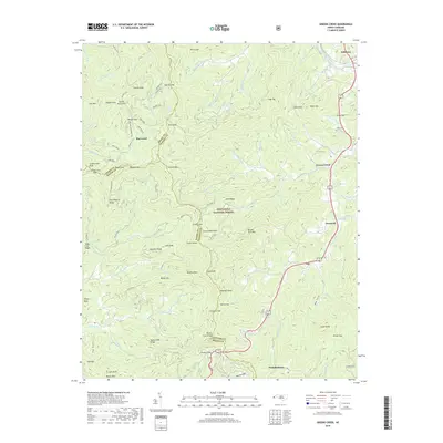
1936 Greens Creek
Jackson County, NC
1940 Greens Creek
Jackson County, NC
1941 Addie
Jackson County, NC
1941 Greens Creek
Jackson County, NC
1942 Addie
Jackson County, NC
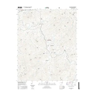
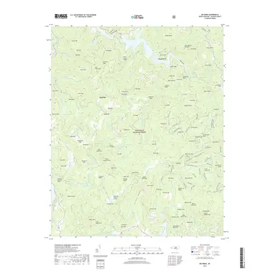
1946 Big Ridge
Jackson County, NC
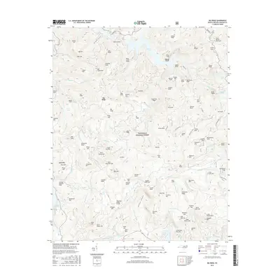
1946 Sylva South
Jackson County, NC
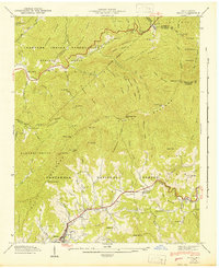
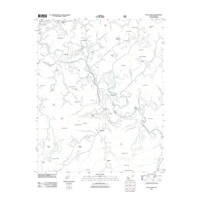
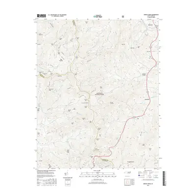
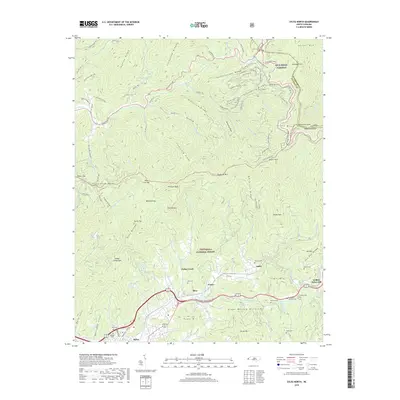
1946 Tuckasegee
Jackson County, NC
1947 Big Ridge
Jackson County, NC
1947 Tuckasegee
Jackson County, NC
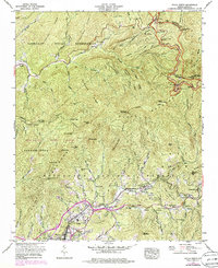
1967 Sylva North
Jackson County, NC
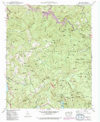
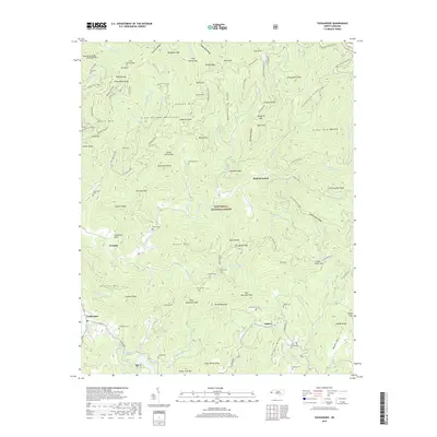
1997 Tuckasegee
Jackson County, NC
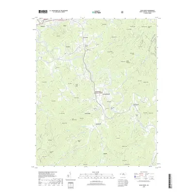
2000 Sylva South
Jackson County, NC
2011 Big Ridge
Jackson County, NC
2011 Greens Creek
Jackson County, NC
2011 Sylva North
Jackson County, NC
2011 Sylva South
Jackson County, NC
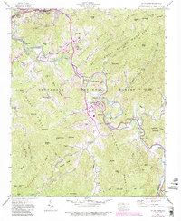
2011 Tuckasegee
Jackson County, NC
2013 Big Ridge
Jackson County, NC
2013 Greens Creek
Jackson County, NC
2013 Sylva North
Jackson County, NC
2013 Sylva South
Jackson County, NC
2013 Tuckasegee
Jackson County, NC
2016 Big Ridge
Jackson County, NC
2016 Greens Creek
Jackson County, NC
2016 Sylva North
Jackson County, NC
2016 Sylva South
Jackson County, NC
2016 Tuckasegee
Jackson County, NC
2019 Big Ridge
Jackson County, NC
2019 Greens Creek
Jackson County, NC
2019 Sylva North
Jackson County, NC
2019 Sylva South
Jackson County, NC
2019 Tuckasegee
Jackson County, NC
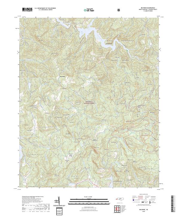
2022 Big Ridge
Jackson County, NC
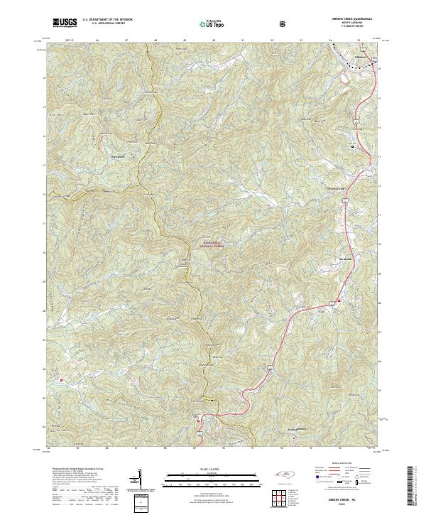
2022 Greens Creek
Jackson County, NC
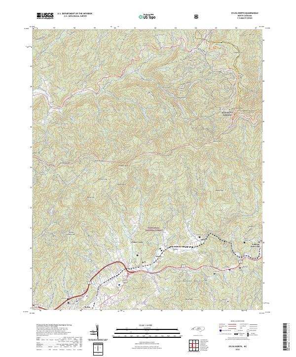
2022 Sylva North
Jackson County, NC
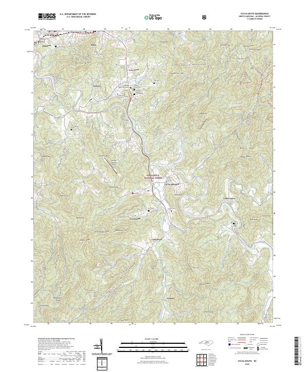
2022 Sylva South
Jackson County, NC
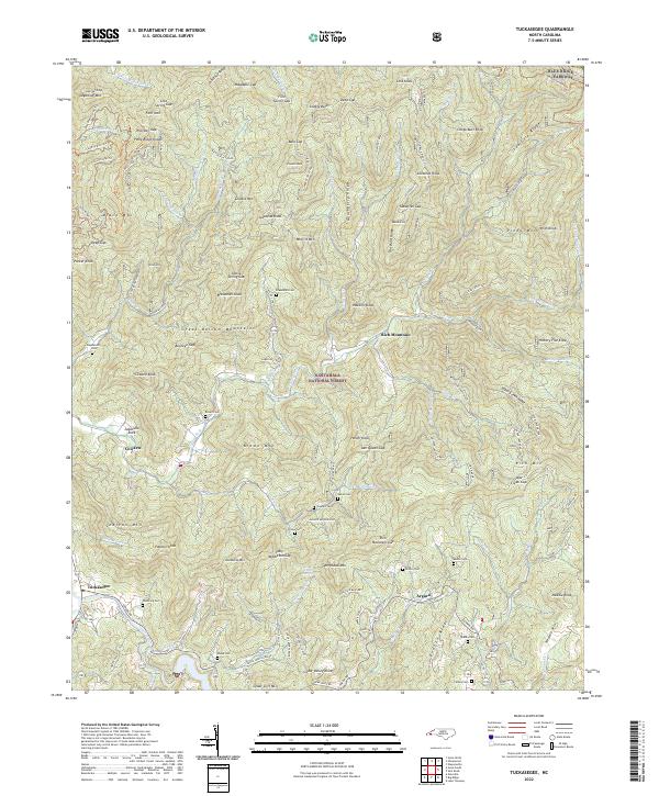
2022 Tuckasegee
Jackson County, NC