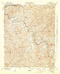
1946 Map of Cullowhee
USGS Topo · Published 1947About this map
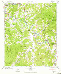
Western Carolina Teachers College forms a central landmark in this 1946 study of the French Broad river basin's high country. The Tuckasegee River winds through the landscape, linking established centers like Sylva, Dillsboro, and the historic seat at Webster. The map captures the agricultural and institutional character of the era, noting the County Farm and numerous rural religious and educational sites such as Love Chapel and Woyehutta Sch. High ridges of the Nantahala National Forest frame the valley, where smaller settlements like East Laport and Speedwell sit along the riverbanks. For genealogists, the inclusion of family-named landmarks and burial grounds like Parris Cem, Stillwell Cem, and Wyke Cem provides specific data points for early 20th-century residency in Jackson County.
Find a feature on this map
100 named features on this map. Tap any name to fly to it.
Don’t see what you’re looking for? This feature index may not catch every label — zoom into the map to look around manually.
Map Details
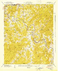
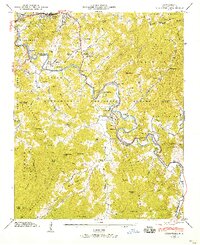
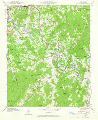
Editions of this 1946 Cullowhee Map
8 editions found
Other maps of this area

1891 · Cowee
USGS Topo · 1:125,000

1897 · Cowee
USGS Topo · 1:125,000

1907 · Cowee
USGS Topo · 1:125,000

1933 · Bryson
USGS Topo · 1:62,500

1935 · Tuckaseigee
USGS Topo · 1:24,000

1935 · Hazelwood
USGS Topo · 1:24,000

1935 · Cullowhee
USGS Topo · 1:24,000

1935 · Addie
USGS Topo · 1:24,000

1935 · Glenville
USGS Topo · 1:24,000

1935 · Corbin Knob
USGS Topo · 1:24,000