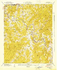
1946 Map of Cullowhee
USGS Topo · Published 1947About this map
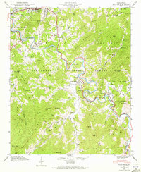
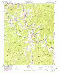
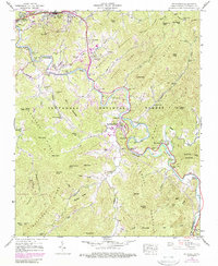
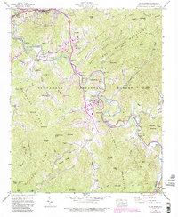
The Tuckasegee River winds through the heart of Jackson County, anchoring a landscape where the Southern railroad and mountain topography dictated the growth of several key communities. This 1946 field examination captures Cullowhee during a pivotal era for the Western Carolina Teachers College, showing the campus and surrounding settlement before its mid-century expansion. Further downriver, the county seat at Sylva and the neighboring Dillsboro serve as commercial hubs along the rail line, while Webster sits on the high ground overlooking the river's bend.
Find a feature on this map
95 named features on this map. Tap any name to fly to it.
Don’t see what you’re looking for? This feature index may not catch every label — zoom into the map to look around manually.
Map Details
Editions of this 1946 Cullowhee Map
8 editions found
Other maps of this area

1891 · Cowee
USGS Topo · 1:125,000

1897 · Cowee
USGS Topo · 1:125,000

1907 · Cowee
USGS Topo · 1:125,000

1933 · Bryson
USGS Topo · 1:62,500

1935 · Tuckaseigee
USGS Topo · 1:24,000

1935 · Hazelwood
USGS Topo · 1:24,000

1935 · Cullowhee
USGS Topo · 1:24,000

1935 · Addie
USGS Topo · 1:24,000

1935 · Glenville
USGS Topo · 1:24,000

1935 · Corbin Knob
USGS Topo · 1:24,000