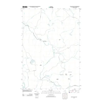
2013 Map of Sylvan Falls
USGS Topo · Published 2013About this map
W Br Saint Regis River carves through this northern New York landscape, defining a terrain of cascades and meadowlands. The settlement of Sylvan Falls is situated at a key drop in the river, while other significant cataracts like Kingsley Falls and Bruner Falls punctuate the drainage to the south. Higher elevations are marked by distinct peaks including Coffee Mountain, Sugar Grove Mountain, and Hamilton Mountain, providing a varied topography that shapes local travel along routes such as Sylvan Falls Rd and Lake Ozonia Rd.
Find a feature on this map
47 named features on this map. Tap any name to fly to it.
Don’t see what you’re looking for? This feature index may not catch every label — zoom into the map to look around manually.
Map Details
Editions of this 2013 Sylvan Falls Map
This is the sole edition of this map. No revisions or reprints were ever made.
Other maps of this area

1908 · Potsdam
USGS Topo · 1:62,500

1919 · Nicholville
USGS Topo · 1:62,500

1920 · Childwold
USGS Topo · 1:62,500

1921 · Childwold
USGS Topo · 1:48,000

1921 · Nicholville
USGS Topo · 1:62,500

1921 · Stark
USGS Topo · 1:62,500

1922 · Childwold
USGS Topo · 1:62,500

1923 · Stark
USGS Topo · 1:62,500

1940 · Stark
USGS Topo · 1:62,500

1942 · Long Bow
USGS Topo · 1:24,000