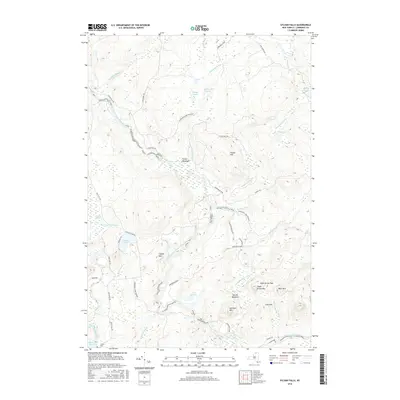
2016 Map of Sylvan Falls
USGS Topo · Published 2016About this map
The West Branch Saint Regis River winds through this heavily forested section of Saint Lawrence County, punctuated by Sylvan Falls, Kingsley Falls, and Bruner Falls. This landscape, much of which is protected within the Adirondack Park Preserve, shows a terrain defined by water and high peaks like Hamilton Mtn and Loon Mtn. Historically significant landmarks include the Coulon Cem near the Blake Falls Reservoir and family-named roads such as Watkins Dr and Joe Indian Rd. The presence of Fenner Meadows and Wheeler Marsh indicates the varied wetland ecosystems surrounding the river corridor. This survey documents the area's rural character, where small mountain lakes like Lake Ozonia and Sterling Pond remain the primary focal points for local geography.
Find a feature on this map
49 named features on this map. Tap any name to fly to it.
Don’t see what you’re looking for? This feature index may not catch every label — zoom into the map to look around manually.
Map Details
Editions of this 2016 Sylvan Falls Map
This is the sole edition of this map. No revisions or reprints were ever made.
Other maps of this area

1908 · Potsdam
USGS Topo · 1:62,500

1919 · Nicholville
USGS Topo · 1:62,500

1920 · Childwold
USGS Topo · 1:62,500

1921 · Childwold
USGS Topo · 1:48,000

1921 · Nicholville
USGS Topo · 1:62,500

1921 · Stark
USGS Topo · 1:62,500

1922 · Childwold
USGS Topo · 1:62,500

1923 · Stark
USGS Topo · 1:62,500

1940 · Stark
USGS Topo · 1:62,500

1942 · Long Bow
USGS Topo · 1:24,000