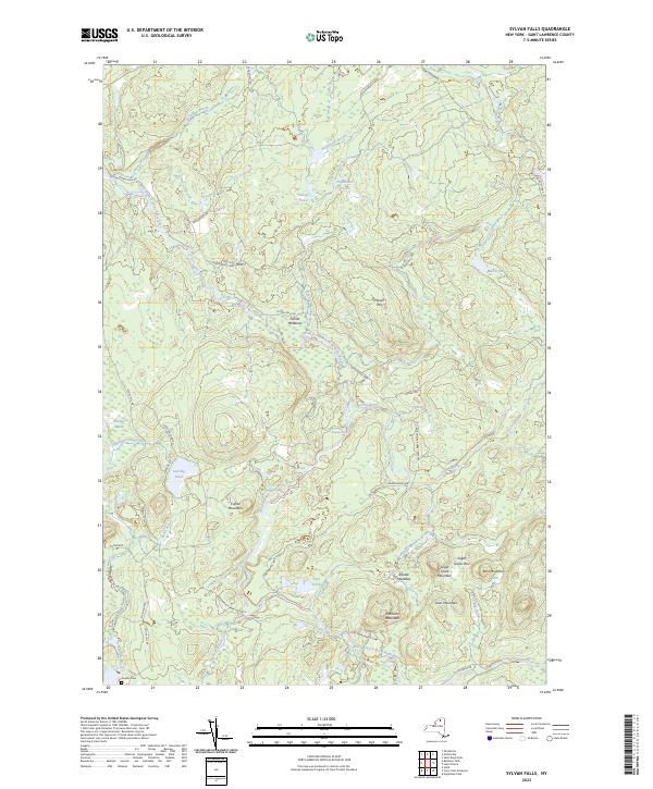
2023 Map of Sylvan Falls
USGS Topo · Published 2023About this map
The West Branch Saint Regis River carves a path through this northern reach of the Adirondack Park Preserve, creating a landscape defined by significant falls and isolated clearings. High-elevation points like Bear Mountain and Loon Mountain overlook a network of water bodies, including Hopkinton Pond and the twin basins of Sterling Pond. The terrain is marked by remote settlements at Fenner Meadows and Randle Meadows, connected by primitive routes such as Sylvan Falls Rd and Mud Pond Tote Rd.
Find a feature on this map
50 named features on this map. Tap any name to fly to it.
Don’t see what you’re looking for? This feature index may not catch every label — zoom into the map to look around manually.
Map Details
Editions of this 2023 Sylvan Falls Map
This is the sole edition of this map. No revisions or reprints were ever made.
Other maps of this area

1908 · Potsdam
USGS Topo · 1:62,500

1919 · Nicholville
USGS Topo · 1:62,500

1920 · Childwold
USGS Topo · 1:62,500

1921 · Childwold
USGS Topo · 1:48,000

1921 · Nicholville
USGS Topo · 1:62,500

1921 · Stark
USGS Topo · 1:62,500

1922 · Childwold
USGS Topo · 1:62,500

1923 · Stark
USGS Topo · 1:62,500

1940 · Stark
USGS Topo · 1:62,500

1942 · Long Bow
USGS Topo · 1:24,000