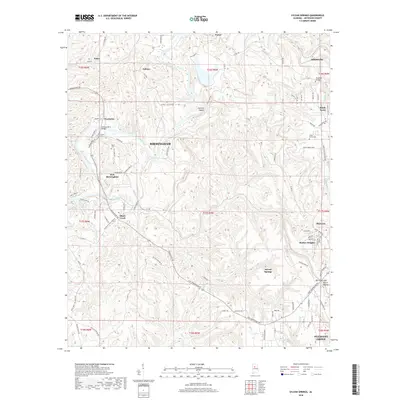
2018 Map of Sylvan Springs
USGS Topo · Published 2018About this map
Locust Fork snakes through this Jefferson County landscape, serving as a primary geographical anchor for industrial and residential settlements in the Birmingham region. The map highlights the strategic location of Port Birmingham along the river, a terminal point that has historically connected the coal-rich interior of Alabama to Gulf Coast waterways. Surrounding this industrial hub are numerous established communities such as Powhatan, Labuco, and Sylvan Springs, which developed alongside the region's mineral and timber resources.
Find a feature on this map
136 named features on this map. Tap any name to fly to it.
Don’t see what you’re looking for? This feature index may not catch every label — zoom into the map to look around manually.
Map Details
Editions of this 2018 Sylvan Springs Map
This is the sole edition of this map. No revisions or reprints were ever made.
Other maps of this area

1889 · Birmingham
USGS Topo · 1:125,000

1890 · Bessemer
USGS Topo · 1:125,000

1892 · Birmingham
USGS Topo · 1:125,000

1892 · Bessemer
USGS Topo · 1:125,000

1893 · Jasper
USGS Topo · 1:125,000

1895 · Birmingham
USGS Topo · 1:125,000

1899 · Brookwood
USGS Topo · 1:125,000

1904 · Birmingham Coal District
USGS Topo · 1:62,500

1905 · Bessemer Iron District
USGS Topo · 1:62,500

1906 · Birmingham Special
USGS Topo · 1:62,500