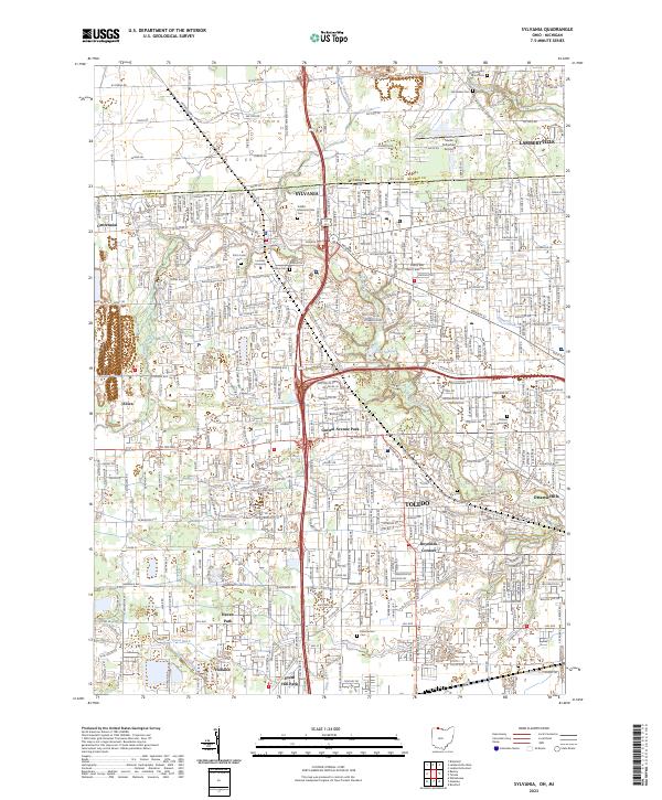
2023 Map of Sylvania
USGS Topo · Published 2023About this map
Sylvania serves as a central hub on this contemporary landscape where the Michigan-Ohio state line divides Lambertville and Toledo. The drainage patterns of Tenmile Creek and the Ottawa River define the local topography, while numerous historical burying grounds such as Toledo Memorial Park Cem, Whiteford Union Cem, and Van Auken Cem provide critical touchpoints for genealogical research. Educational and transportation infrastructure is prominent, featuring the campus of Lourdes University and the Toledo Suburban Airport. The residential and commercial expansion is evident through named neighborhoods like Ottawa Hills, Haven Park, and Central Avenue Park, showing the density of the suburban corridor between Holland and the northern state boundary. Smaller localities such as Centennial and Silica represent the western reaches of this interconnected border region.
Find a feature on this map
49 named features on this map. Tap any name to fly to it.
Don’t see what you’re looking for? This feature index may not catch every label — zoom into the map to look around manually.
Map Details
Editions of this 2023 Sylvania Map
This is the sole edition of this map. No revisions or reprints were ever made.
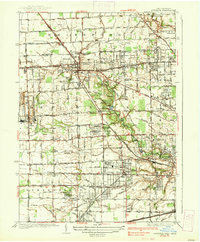
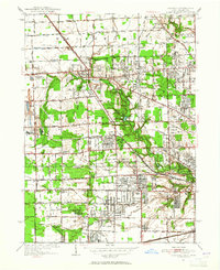
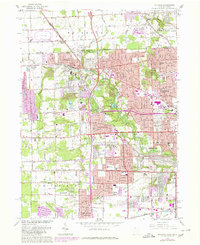
Historical Maps of Elden Heights Through Time
4 maps found