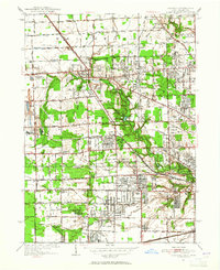
1951 Map of Sylvania
USGS Topo · Published 1952About this map
Sylvania and the surrounding borderlands of Lucas County sit at a unique jurisdictional crossroads where the Michigan Ohio state line meets the North Boundary Twelvemile Reservation. This 1951 revision reveals a landscape defined by an extensive network of drainage ditches, such as Tenmile Creek and the Lansing Ditch, which supported the area's agricultural and suburban development. The presence of industrial landmarks like the Medusa Quarry and France Quarry near Silica highlights the local economy's reliance on mineral extraction, while institutions like St Francis Convent and Lady of Lourdes Ch and Sch anchor the community's social history. The New York Central Railroad cuts diagonally across the townships, serving as a primary transit artery for a region transitioning toward the residential character of Ottawa Hills and Reynolds Corners.
Find a feature on this map
107 named features on this map. Tap any name to fly to it.
Don’t see what you’re looking for? This feature index may not catch every label — zoom into the map to look around manually.
Map Details
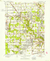
Editions of this 1951 Sylvania Map
2 editions found
Other maps of this area

1900 · Toledo
USGS Topo · 1:62,500

1911 · Swanton
USGS Topo · 1:62,500

1912 · Dundee
USGS Topo · 1:62,500

1914 · Swanton
USGS Topo · 1:62,500

1926 · Dundee
USGS Topo · 1:62,500

1934 · Rossford
USGS Topo · 1:24,000

1935 · Whitehouse
USGS Topo · 1:24,000

1935 · Maumee
USGS Topo · 1:24,000

1935 · Berkey
USGS Topo · 1:24,000

1936 · Samaria
USGS Topo · 1:31,680