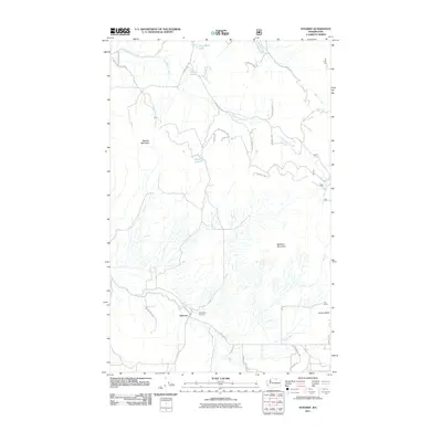
2011 Map of Synarep
USGS Topo · Published 2011About this map
The settlement of Synarep occupies a narrow valley floor in north-central Washington, where the drainage of Tunk Creek cuts through the high plateau country. This 2011 survey illustrates a landscape defined by isolated homesteads and ranching tracts like the Fritz Ranch at the base of Powers Butte. The map provides a detailed view of the local infrastructure, showing the network of secondary routes and trails such as Tunk Creek RD and Armitage-Hull RD that connect these dispersed mountain properties.
Find a feature on this map
32 named features on this map. Tap any name to fly to it.
Don’t see what you’re looking for? This feature index may not catch every label — zoom into the map to look around manually.
Map Details
Editions of this 2011 Synarep Map
This is the sole edition of this map. No revisions or reprints were ever made.
Other maps of this area
1902 · Osoyoos
USGS Topo · 1:125,000
1904 · Osoyoos
USGS Topo · 1:125,000
1952 · Disautel
USGS Topo · 1:62,500
1953 · Omak Lake
USGS Topo · 1:62,500
1954 · Okanogan
USGS Topo · 1:250,000
1957 · Tonasket
USGS Topo · 1:62,500
1957 · Aeneas Valley
USGS Topo · 1:62,500
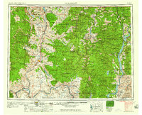
1958 · Okanogan
USGS Topo · 1:250,000
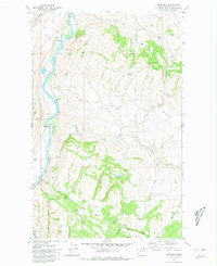
1980 · Keystone
USGS Topo · 1:24,000
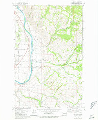
1980 · The Pothole
USGS Topo · 1:24,000