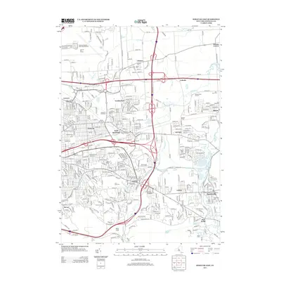
2013 Map of Syracuse East
USGS Topo · Published 2013About this map
Syracuse Hancock International Airport and the Syracuse Port of Entry anchor the northern edge of this Onondaga County landscape, where modern transportation infrastructure meets the historically significant waters of Butternut Cr and Limestone Cr. The map illustrates the suburban evolution of the eastern Syracuse metropolitan area, showcasing the industrial footprint of the CSX Transportation line and the extensive rail infrastructure at DeWitt Yards.
Find a feature on this map
53 named features on this map. Tap any name to fly to it.
Don’t see what you’re looking for? This feature index may not catch every label — zoom into the map to look around manually.
Map Details
Editions of this 2013 Syracuse East Map
This is the sole edition of this map. No revisions or reprints were ever made.
Other maps of this area

1895 · Chittenango
USGS Topo · 1:62,500

1895 · Syracuse
USGS Topo · 1:62,500

1897 · Cazenovia
USGS Topo · 1:62,500

1898 · Syracuse
USGS Topo · 1:62,500

1898 · Chittenango
USGS Topo · 1:62,500

1899 · Cazenovia
USGS Topo · 1:62,500

1900 · Tully
USGS Topo · 1:62,500

1902 · Chittenango
USGS Topo · 1:62,500

1938 · Syracuse East
USGS Topo · 1:24,000

1939 · Syracuse West
USGS Topo · 1:24,000