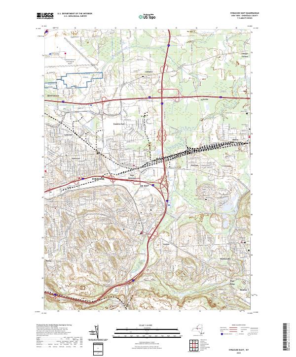
2023 Map of Syracuse East
USGS Topo · Published 2023About this map
Syracuse and its eastern suburbs are shown here as a complex urban and industrial landscape defined by modern transportation corridors and older watercourses. The intersection of major interstate routes serves as a modern focal point, while the historical weight of the area is visible in the numerous cemeteries like the Fayetteville Pioneer Burial Ground and Messina Springs Cem. The terrain is drained by several significant waterways, including Butternut Creek and Limestone Creek, which snake through developed residential areas and industrial zones. Le Moyne College serves as a prominent educational landmark within the city limits. This survey illustrates the high density of the New York interior, where former agricultural hamlets like Collamer and Schepps Corners have transitioned into the modern suburban fabric. Key infrastructure, such as the Syracuse Hancock International Airport, sits alongside residential developments like Franklin Park and Eastwood, reflecting the area's role as a major regional hub.
Find a feature on this map
63 named features on this map. Tap any name to fly to it.
Don’t see what you’re looking for? This feature index may not catch every label — zoom into the map to look around manually.
Map Details
Editions of this 2023 Syracuse East Map
This is the sole edition of this map. No revisions or reprints were ever made.
Other maps of this area

1895 · Chittenango
USGS Topo · 1:62,500

1895 · Syracuse
USGS Topo · 1:62,500

1897 · Cazenovia
USGS Topo · 1:62,500

1898 · Syracuse
USGS Topo · 1:62,500

1898 · Chittenango
USGS Topo · 1:62,500

1899 · Cazenovia
USGS Topo · 1:62,500

1900 · Tully
USGS Topo · 1:62,500

1902 · Chittenango
USGS Topo · 1:62,500

1938 · Syracuse East
USGS Topo · 1:24,000

1939 · Syracuse West
USGS Topo · 1:24,000