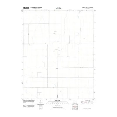
2010 Map of Syracuse East SE
USGS Topo · Published 2010About this map
Menno Cemetery sits at the heart of this rural landscape in western Kansas, serving as a primary landmark in a region defined by its orderly section-line road network. The terrain is marked by the subtle drainage of Wolf Creek, which meanders through the southern portion of the quadrangle. Transport and movement are dictated by the grid, featuring thoroughfares such as Big Bow Grade and Co Rd W. This 2010 survey illustrates the enduring agricultural character of Kearny County, where the infrastructure is built around local transit routes like Co Rd 35 and Co Rd Y. The sparse distribution of named features emphasizes the vastness of the High Plains and the significance of these few established sites for family researchers and local historians.
Find a feature on this map
18 named features on this map. Tap any name to fly to it.
Don’t see what you’re looking for? This feature index may not catch every label — zoom into the map to look around manually.
Map Details
Editions of this 2010 Syracuse East SE Map
This is the sole edition of this map. No revisions or reprints were ever made.
Other maps of this area

1891 · Larned
USGS Topo · 1:125,000

1900 · Syracuse
USGS Topo · 1:125,000

1900 · Lakin
USGS Topo · 1:125,000

1920 · Syracuse
USGS Topo · 1:125,000

1955 · Dodge City
USGS Topo · 1:250,000

1958 · Dodge City
USGS Topo · 1:250,000

1959 · Dodge City
USGS Topo · 1:250,000

1959 · Ulysses NW
USGS Topo · 1:24,000

1959 · Big Bow NE
USGS Topo · 1:24,000

1959 · Big Bow NW
USGS Topo · 1:24,000