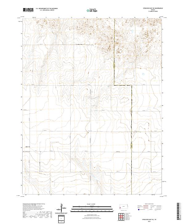
2022 Map of Syracuse East SE
USGS Topo · Published 2022About this map
Menno Cem stands as a quiet landmark near the center of this landscape, marking the transition between the agricultural sections of Hamilton County and Kearny County. The terrain is defined by a grid of rural routes and the intermittent drainage of Wolf Cr in the south, reflecting the persistence of high-plains land management and township divisions. Transport in this region relies on an organized network of section-line roads, including the notably named Big Bow Grade, which provides a primary north-south axis through the central townships. The map documents the meticulous organization of Western Kansas, where the sparse placement of named features like Co Rd 31 and Co Rd 35 illustrates the vast distances between established rural points of interest.
Find a feature on this map
19 named features on this map. Tap any name to fly to it.
Don’t see what you’re looking for? This feature index may not catch every label — zoom into the map to look around manually.
Map Details
Editions of this 2022 Syracuse East SE Map
This is the sole edition of this map. No revisions or reprints were ever made.
Other maps of this area

1891 · Larned
USGS Topo · 1:125,000

1900 · Syracuse
USGS Topo · 1:125,000

1900 · Lakin
USGS Topo · 1:125,000

1920 · Syracuse
USGS Topo · 1:125,000

1955 · Dodge City
USGS Topo · 1:250,000

1958 · Dodge City
USGS Topo · 1:250,000

1959 · Dodge City
USGS Topo · 1:250,000

1959 · Ulysses NW
USGS Topo · 1:24,000

1959 · Big Bow NE
USGS Topo · 1:24,000

1959 · Big Bow NW
USGS Topo · 1:24,000