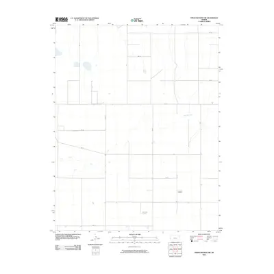
2010 Map of Syracuse West SW
USGS Topo · Published 2010About this map
The High Plains of Hamilton County are defined here by a network of intermittent drainage and rural section lines. Two significant landmarks for genealogists and local historians are situated in the southern half of the sheet: the Goldamer Cemetery and Bear Creek Cemetery, which stand as quiet markers of the early settlement families in this part of western Kansas. The landscape is carved by the ephemeral paths of North Bear Creek and Dry Bear Creek, whose winding channels contrast with the rigid geometry of the county road system, including the prominent Road E. This survey reflects the enduring agricultural character of the region, where the primary infrastructure consists of access routes like Rd 33 and Rd 34 that serve isolated farmsteads and the vast open range.
Find a feature on this map
18 named features on this map. Tap any name to fly to it.
Don’t see what you’re looking for? This feature index may not catch every label — zoom into the map to look around manually.
Map Details
Editions of this 2010 Syracuse West SW Map
This is the sole edition of this map. No revisions or reprints were ever made.
Other maps of this area

1891 · Albany
USGS Topo · 1:125,000

1893 · Albany
USGS Topo · 1:125,000

1900 · Syracuse
USGS Topo · 1:125,000

1920 · Syracuse
USGS Topo · 1:125,000

1955 · La Junta
USGS Topo · 1:250,000

1955 · Dodge City
USGS Topo · 1:250,000

1958 · La Junta
USGS Topo · 1:250,000

1958 · Dodge City
USGS Topo · 1:250,000

1959 · Dodge City
USGS Topo · 1:250,000

1966 · Syracuse West SW
USGS Topo · 1:24,000