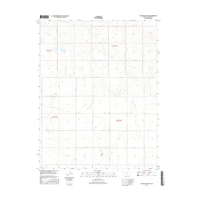
2015 Map of Syracuse West SW
USGS Topo · Published 2015About this map
The Bear Creek Cem serves as a quiet local landmark in this corner of Hamilton County, located near the southern reaches of the quadrangle. The landscape is defined by the ephemeral drainage of N Bear Cr, which winds through a strictly surveyed grid of agricultural and range lands. The terrain exhibits the systematic division of the Public Land Survey System, with township boundaries such as t25s r42w and t26s r43w carving the plains into precise sections.
Find a feature on this map
15 named features on this map. Tap any name to fly to it.
Don’t see what you’re looking for? This feature index may not catch every label — zoom into the map to look around manually.
Map Details
Editions of this 2015 Syracuse West SW Map
This is the sole edition of this map. No revisions or reprints were ever made.
Other maps of this area

1891 · Albany
USGS Topo · 1:125,000

1893 · Albany
USGS Topo · 1:125,000

1900 · Syracuse
USGS Topo · 1:125,000

1920 · Syracuse
USGS Topo · 1:125,000

1955 · La Junta
USGS Topo · 1:250,000

1955 · Dodge City
USGS Topo · 1:250,000

1958 · La Junta
USGS Topo · 1:250,000

1958 · Dodge City
USGS Topo · 1:250,000

1959 · Dodge City
USGS Topo · 1:250,000

1966 · Syracuse West SW
USGS Topo · 1:24,000