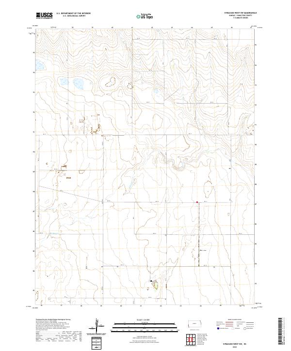
2022 Map of Syracuse West SW
USGS Topo · Published 2022About this map
Bear Creek Cem serves as a primary historical landmark in this section of Hamilton County, located in the southern portion of the township. The landscape is defined by the winding course of N Bear Cr, which cuts through the central and southern sections, influencing the local topography and drainage patterns. This 2022 survey documents a sparsely settled high-plains environment organized by an extensive grid of section-line roads, including Rd 28 and Rd 36. The map provides a clear view of the township and range boundaries, specifically dividing t25s r43w, t25s r42w, t26s r43w, and t26s r42w. The distribution of intermittent water features and the established cemetery suggests a long-standing agricultural and ranching community focused around the water source of the creek.
Find a feature on this map
15 named features on this map. Tap any name to fly to it.
Don’t see what you’re looking for? This feature index may not catch every label — zoom into the map to look around manually.
Map Details
Editions of this 2022 Syracuse West SW Map
This is the sole edition of this map. No revisions or reprints were ever made.
Other maps of this area

1891 · Albany
USGS Topo · 1:125,000

1893 · Albany
USGS Topo · 1:125,000

1900 · Syracuse
USGS Topo · 1:125,000

1920 · Syracuse
USGS Topo · 1:125,000

1955 · La Junta
USGS Topo · 1:250,000

1955 · Dodge City
USGS Topo · 1:250,000

1958 · La Junta
USGS Topo · 1:250,000

1958 · Dodge City
USGS Topo · 1:250,000

1959 · Dodge City
USGS Topo · 1:250,000

1966 · Syracuse West SW
USGS Topo · 1:24,000