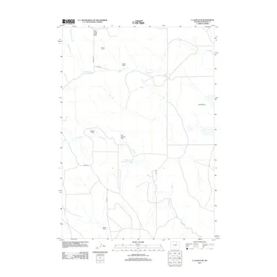
2012 Map of T A Ranch NE
USGS Topo · Published 2012About this map
Wallows Creek Number 2 Reservoir anchors this high plains landscape in Johnson County, illustrating the vital role of water management in Wyoming's semi-arid terrain. The drainage network is defined by numerous draws and intermittent creeks, such as Arno Draw and Hakert Draw, which shape the local topography. This early 21st-century survey reveals a sparse, rural infrastructure where named roads like Trabing Rd and Cook Rd connect remote ranching properties. The geography is characterized by expansive depressions and natural catchments, most notably the area identified as The Wallows. Names like Last Chance Draw and House Draw reflect the historical naming conventions of early settlers and ranchers who navigated this environment. The presence of Bilderback Cr and its tributaries, including N Prong Bilderback Cr, highlights the intricate seasonal hydrology essential to the region.
Find a feature on this map
17 named features on this map. Tap any name to fly to it.
Don’t see what you’re looking for? This feature index may not catch every label — zoom into the map to look around manually.
Map Details
Editions of this 2012 T A Ranch NE Map
This is the sole edition of this map. No revisions or reprints were ever made.
Other maps of this area
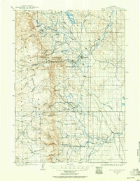
1900 · Fort McKinney
USGS Topo · 1:125,000
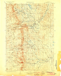
1903 · Fort McKinney
USGS Topo · 1:125,000

1955 · Sheridan
USGS Topo · 1:250,000

1958 · Sheridan
USGS Topo · 1:250,000

1962 · Sheridan
USGS Topo · 1:250,000
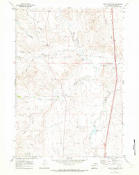
1970 · Purdy Reservoir
USGS Topo · 1:24,000
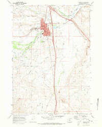
1970 · Buffalo
USGS Topo · 1:24,000
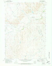
1970 · Trabing
USGS Topo · 1:24,000
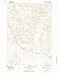
1970 · Buffalo SE
USGS Topo · 1:24,000
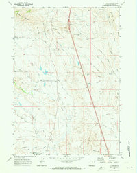
1970 · T A Ranch
USGS Topo · 1:24,000