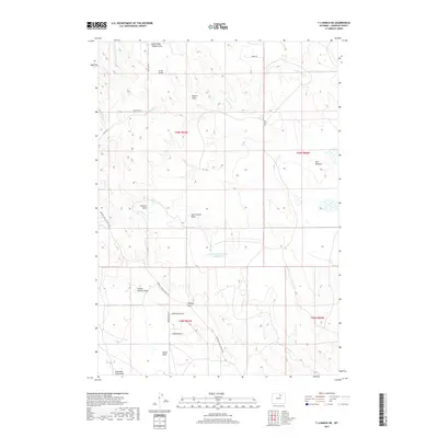
2017 Map of T A Ranch NE
USGS Topo · Published 2017About this map
The High Plains of Johnson County are defined here by a network of ephemeral drainage basins and intermittent creeks that feed into the Powder River watershed. The terrain is marked by numerous draws named for local families and landmarks, such as Arno Draw, Gossett Draw, and Trabing Draw. This pattern of land use reflects the region's ranching heritage, where water management is critical for livestock. A primary feature of this system is the Wallows Cr Number 2 Reservoir, which captures runoff from Wallows Cr and The Wallows. Infrastructure is sparse across these townships, consisting primarily of gravel roads like the Buffalo Sussex Cutoff Rd and Horseshoe Hills Rd, which connect the disparate ranch holdings between the hills.
Find a feature on this map
28 named features on this map. Tap any name to fly to it.
Don’t see what you’re looking for? This feature index may not catch every label — zoom into the map to look around manually.
Map Details
Editions of this 2017 T A Ranch NE Map
This is the sole edition of this map. No revisions or reprints were ever made.
Other maps of this area
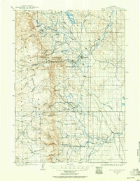
1900 · Fort McKinney
USGS Topo · 1:125,000
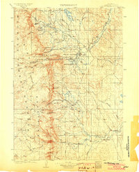
1903 · Fort McKinney
USGS Topo · 1:125,000

1955 · Sheridan
USGS Topo · 1:250,000

1958 · Sheridan
USGS Topo · 1:250,000

1962 · Sheridan
USGS Topo · 1:250,000
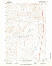
1970 · Purdy Reservoir
USGS Topo · 1:24,000
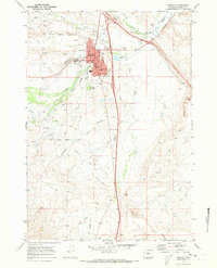
1970 · Buffalo
USGS Topo · 1:24,000
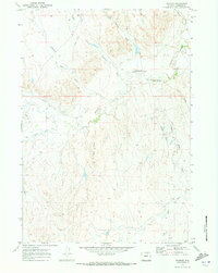
1970 · Trabing
USGS Topo · 1:24,000
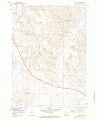
1970 · Buffalo SE
USGS Topo · 1:24,000
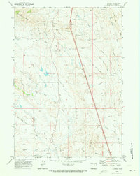
1970 · T A Ranch
USGS Topo · 1:24,000