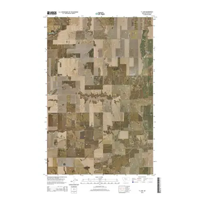
2014 Map of T L Gap
USGS Topo · Published 2014About this map
T L Gap serves as a prominent geographic point in this section of Teton County, where the high Montana plains are dissected by a network of seasonal drainage channels. The Teton River cuts through the northern portion of the landscape, while the central and southern reaches are defined by the elevated surfaces of Teton Ridge and Bole Bench. This 2014 survey reveals a highly organized agricultural grid, with long straight roads like 17th Rd NE and 11th Rd NE providing access to the vast acreage between the coulees. The topographic character of the region is punctuated by deep erosional features, including Antelope Coulee and Coyote Coulee, which highlight the steady movement of water across this arid environment. The primary artery of MT-221 bisects the quadrangle, connecting the remote farmsteads and ranching lands that dominate the local economy.
Find a feature on this map
24 named features on this map. Tap any name to fly to it.
Don’t see what you’re looking for? This feature index may not catch every label — zoom into the map to look around manually.
Map Details
Editions of this 2014 T L Gap Map
This is the sole edition of this map. No revisions or reprints were ever made.
Other maps of this area
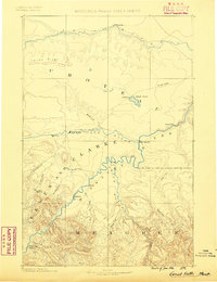
1886 · Great Falls
USGS Topo · 1:250,000
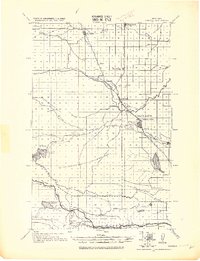
1920 · Choteau
USGS Topo · 1:125,000
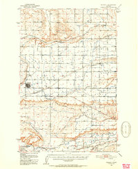
1950 · Fairfield
USGS Topo · 1:62,500
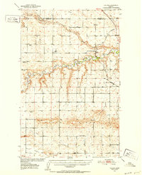
1950 · Collins
USGS Topo · 1:62,500

1954 · Great Falls
USGS Topo · 1:250,000

1955 · Choteau
USGS Topo · 1:250,000

1957 · Choteau
USGS Topo · 1:250,000
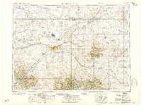
1957 · Great Falls
USGS Topo · 1:250,000
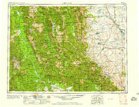
1958 · Choteau
USGS Topo · 1:250,000
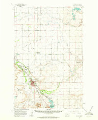
1960 · Choteau
USGS Topo · 1:62,500