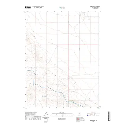
2023 Map of Tabbys Peak SE
USGS Topo · Published 2023About this map
West Desert Test Center occupies the southern portion of this landscape, representing the modern military footprint in this part of Tooele County. The terrain transitions from the salt flats of Skull Valley in the northeast toward the rising elevations of the Cedar Mountains. The topography is defined by several notable geological depressions and rises, including the Wide Hollow and Post Hollow drainages, alongside the prominent Hickman Knolls at the northern edge. Limited infrastructure serves this desert environment, primarily restricted to unpaved corridors such as Cedar Mountain Rd and Post Hollow Rd. This 2023 edition highlights how land use remains divided between open desert valley and restricted government testing grounds, a pattern established during the mid-20th century.
Find a feature on this map
10 named features on this map. Tap any name to fly to it.
Don’t see what you’re looking for? This feature index may not catch every label — zoom into the map to look around manually.
Map Details
Editions of this 2023 Tabbys Peak SE Map
This is the sole edition of this map. No revisions or reprints were ever made.
Other maps of this area

1885 · Tooele Valley
USGS Topo · 1:250,000

1953 · Tooele
USGS Topo · 1:250,000

1954 · Camels Back Ridge NW
USGS Topo · 1:24,000

1955 · Tabbys Peak SE
USGS Topo · 1:24,000

1955 · Tabbys Peak
USGS Topo · 1:24,000

1955 · Camels Back Ridge NE
USGS Topo · 1:24,000

1955 · Davis Knolls
USGS Topo · 1:24,000

1955 · Deseret Peak
USGS Topo · 1:62,500

1955 · Tabbys Peak SW
USGS Topo · 1:24,000

1955 · Tooele
USGS Topo · 1:250,000