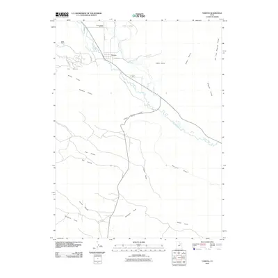
2010 Map of Tabiona
USGS Topo · Published 2010About this map
The Duchesne River valley serves as the primary corridor for settlement and agriculture in this corner of the Uintah Basin. The town of Tabiona is concentrated along the river, supported by an intricate network of irrigation infrastructure including the Farm Creek Canal, Tabby Canal, Jasper Pike Canal, and several named water diversions like Bridger Ditch and Hicken Ditch. These systems suggest a landscape deeply shaped by the necessity of water management for mountain-valley farming.
Find a feature on this map
29 named features on this map. Tap any name to fly to it.
Don’t see what you’re looking for? This feature index may not catch every label — zoom into the map to look around manually.
Map Details
Editions of this 2010 Tabiona Map
This is the sole edition of this map. No revisions or reprints were ever made.
Other maps of this area

1885 · Uinta
USGS Topo · 1:250,000

1954 · Salt Lake City
USGS Topo · 1:250,000

1958 · Salt Lake City
USGS Topo · 1:250,000

1960 · Salt Lake City
USGS Topo · 1:250,000

1962 · Strawberry Pinnacles
USGS Topo · 1:24,000

1962 · Blacktail Mtn
USGS Topo · 1:24,000

1962 · Fruitland
USGS Topo · 1:24,000

1962 · Hanna
USGS Topo · 1:24,000

1962 · Tabiona
USGS Topo · 1:24,000

1962 · Rabbit Gulch
USGS Topo · 1:24,000