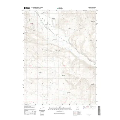
2014 Map of Tabiona
USGS Topo · Published 2014About this map
The Duchesne River valley serves as the central artery for this part of Duchesne County, where the settlement of Tabiona sits at the junction of W Highway 35 and several local roads like N Tabby Ln. This area is characterized by an extensive network of water management features, including the Jasper Pike Canal, Tabby Canal, and Hicken Ditch, which redirect water from the river to the surrounding basins and hollows. These man-made improvements suggest a landscape heavily modified for agriculture and livestock, contrasting with the dramatic natural topography of Windy Ridge and Blacktail Ridge.
Find a feature on this map
47 named features on this map. Tap any name to fly to it.
Don’t see what you’re looking for? This feature index may not catch every label — zoom into the map to look around manually.
Map Details
Editions of this 2014 Tabiona Map
This is the sole edition of this map. No revisions or reprints were ever made.
Other maps of this area

1885 · Uinta
USGS Topo · 1:250,000

1954 · Salt Lake City
USGS Topo · 1:250,000

1958 · Salt Lake City
USGS Topo · 1:250,000

1960 · Salt Lake City
USGS Topo · 1:250,000

1962 · Strawberry Pinnacles
USGS Topo · 1:24,000

1962 · Blacktail Mtn
USGS Topo · 1:24,000

1962 · Fruitland
USGS Topo · 1:24,000

1962 · Hanna
USGS Topo · 1:24,000

1962 · Tabiona
USGS Topo · 1:24,000

1962 · Rabbit Gulch
USGS Topo · 1:24,000