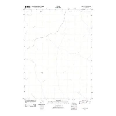
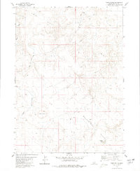
2010 Map of Table Butte
USGS Topo · Published 2010About this map
Table Butte and Big Hill define the physical profile of this Owyhee County high-desert landscape in the early 21st century. The drainage network is characterized by intermittent watercourses like Sugar Creek, Hot Creek, and Miller Water, which cut through the open terrain. Human presence is light, primarily represented by the winding path of Sheep Creek Rd, reflecting the remote and arid nature of the Snake River Plain’s southern fringes. This 2010 survey provides a digital-era look at the land's hydrology and topography, capturing the seasonal nature of the western range where water features are named yet ephemeral. The map's layout emphasizes the isolation of these high-elevation landmarks, offering a precise record for those studying the environmental character of southwestern Idaho.
Find a feature on this map
6 named features on this map. Tap any name to fly to it.
Don’t see what you’re looking for? This feature index may not catch every label — zoom into the map to look around manually.
Map Details
Editions of this 2010 Table Butte Map
This is the sole edition of this map. No revisions or reprints were ever made.
Other maps of this area

1955 · Twin Falls
USGS Topo · 1:250,000

1956 · Big Hill
USGS Topo · 1:62,500

1956 · Winter Camp
USGS Topo · 1:62,500

1958 · Twin Falls
USGS Topo · 1:250,000

1979 · Blackstone Reservoir
USGS Topo · 1:24,000

1979 · Cave Draw
USGS Topo · 1:24,000
1979 · Grasmere
USGS Topo · 1:24,000
1980 · Austin Butte
USGS Topo · 1:24,000
1980 · Hole In Rock
USGS Topo · 1:24,000
1980 · Table Butte
USGS Topo · 1:24,000