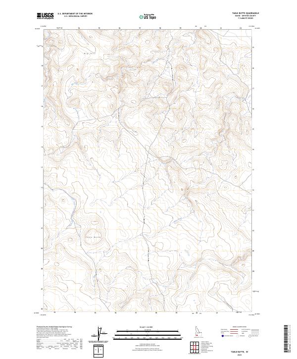
2023 Map of Table Butte
USGS Topo · Published 2023About this map
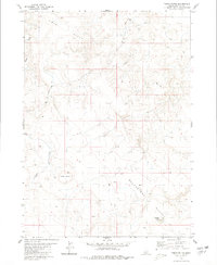
Table Butte and Big Hill dominate this high plateau region in Owyhee County, where the landscape is defined by drainage patterns and remote access routes. The map area is primarily organized by the Public Land Survey System, spanning townships such as t10s r5e and t9s r5e. The presence of the CCC Rd suggests a legacy of infrastructure development in this arid environment, likely dating back to mid-century conservation efforts. Water resources are scarce and localized, represented by intermittent flows like Sugar Creek, Hot Creek, and the specifically named Miller Water. These seasonal water sources and the flat-topped butte topography provide a clear picture of the open-range character of southwestern Idaho in the early twenty-first century.
Find a feature on this map
12 named features on this map. Tap any name to fly to it.
Don’t see what you’re looking for? This feature index may not catch every label — zoom into the map to look around manually.
Map Details
Editions of this 2023 Table Butte Map
This is the sole edition of this map. No revisions or reprints were ever made.
Other maps of this area

1955 · Twin Falls
USGS Topo · 1:250,000

1956 · Big Hill
USGS Topo · 1:62,500

1956 · Winter Camp
USGS Topo · 1:62,500

1958 · Twin Falls
USGS Topo · 1:250,000

1979 · Blackstone Reservoir
USGS Topo · 1:24,000

1979 · Cave Draw
USGS Topo · 1:24,000
1979 · Grasmere
USGS Topo · 1:24,000
1980 · Austin Butte
USGS Topo · 1:24,000
1980 · Hole In Rock
USGS Topo · 1:24,000
1980 · Table Butte
USGS Topo · 1:24,000