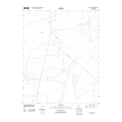
2010 Map of Table Mesa
USGS Topo · Published 2010About this map
Table Mesa Oil Field anchors the northeast corner of this high-desert landscape within the Shiprock Agency. This industrial presence is contrasted by the dramatic natural geometry of Cathedral Cliff and the prominence of Barber Peak. The terrain is defined by its arid drainage patterns, with Dead Mans Wash and the winding course of Coal Creek carving through the plateaus. The human footprint here is largely functional, represented by a network of thoroughfares including Indian Service Route 5083 and Indian Service Route 5017, which provide essential access across the expanse of Table Mesa. The map captures a moment in the modern era where resource extraction and traditional land management routes intersect on the Navajo Nation.
Find a feature on this map
9 named features on this map. Tap any name to fly to it.
Don’t see what you’re looking for? This feature index may not catch every label — zoom into the map to look around manually.
Map Details
Editions of this 2010 Table Mesa Map
This is the sole edition of this map. No revisions or reprints were ever made.
Other maps of this area

1889 · Chaco
USGS Topo · 1:250,000

1892 · Chaco
USGS Topo · 1:250,000

1927 · Sulphur Spring
USGS Topo · 1:96,000

1928 · Kirtland
USGS Topo · 1:125,000

1932 · Kirtland
USGS Topo · 1:125,000

1934 · Ship Rock
USGS Topo · 1:62,500

1937 · Ship Rock
USGS Topo · 1:62,500

1953 · Sanostee
USGS Topo · 1:62,500

1954 · Shiprock
USGS Topo · 1:250,000

1958 · Shiprock
USGS Topo · 1:250,000