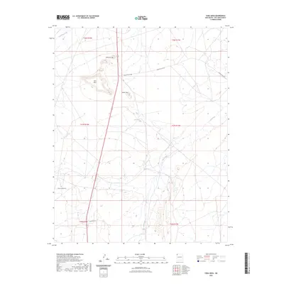
2023 Map of Table Mesa
USGS Topo · Published 2023About this map
Table Mesa dominates this section of San Juan County, rising as a prominent landform alongside the dramatic Cathedral Cliff. The landscape is defined by its drainage systems and geological features, including the winding path of Coal Creek and the notable Barber Peak. This modern survey by the U.S. Geological Survey captures the infrastructure of the Navajo Nation, tracing numerous service routes such as Indian Svc Rte 5017, Indian Svc Rte 5083, and Indian Svc Rte 5014. The map provides a detailed view of the high desert terrain, showing the intersection of natural hydrology like Dead Mans Wash and 12r-80 Spring with modern rural access roads like Horseshoe Dr. This documentation is essential for understanding the contemporary geographic layout and land management boundaries within these New Mexico townships.
Find a feature on this map
16 named features on this map. Tap any name to fly to it.
Don’t see what you’re looking for? This feature index may not catch every label — zoom into the map to look around manually.
Map Details
Editions of this 2023 Table Mesa Map
This is the sole edition of this map. No revisions or reprints were ever made.
Other maps of this area

1889 · Chaco
USGS Topo · 1:250,000

1892 · Chaco
USGS Topo · 1:250,000

1927 · Sulphur Spring
USGS Topo · 1:96,000

1928 · Kirtland
USGS Topo · 1:125,000

1932 · Kirtland
USGS Topo · 1:125,000

1934 · Ship Rock
USGS Topo · 1:62,500

1937 · Ship Rock
USGS Topo · 1:62,500

1953 · Sanostee
USGS Topo · 1:62,500

1954 · Shiprock
USGS Topo · 1:250,000

1958 · Shiprock
USGS Topo · 1:250,000