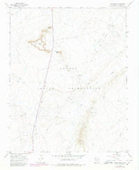
1966 Map of Table Mesa
USGS Topo · Published 1980About this map
The Navajo Indian Reservation landscape is defined by the striking silhouette of Table Mesa and the prominent heights of Cathedral Cliff and Barber Peak. This mid-century survey reveals an industrial layer superimposed on the desert terrain, centered around the Oil Field and a network of supporting infrastructure. Traces of resource extraction are visible throughout the quadrangle, from several noted Mines and a Quarry to a Pumping Sta and various Drill Holes. Natural drainage patterns like Dead Mans Wash and Coal Creek underscore the arid environment, while the presence of a Radio Tower and an extensive Pipeline system highlight the modern development of the San Juan Basin during this era. The map records a moment of transition where traditional land use meets industrial energy expansion.
Find a feature on this map
15 named features on this map. Tap any name to fly to it.
Don’t see what you’re looking for? This feature index may not catch every label — zoom into the map to look around manually.
Map Details
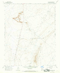
Editions of this 1966 Table Mesa Map
2 editions found
Other maps of this area

1889 · Chaco
USGS Topo · 1:250,000

1892 · Chaco
USGS Topo · 1:250,000

1927 · Sulphur Spring
USGS Topo · 1:96,000

1928 · Kirtland
USGS Topo · 1:125,000

1932 · Kirtland
USGS Topo · 1:125,000

1934 · Ship Rock
USGS Topo · 1:62,500

1937 · Ship Rock
USGS Topo · 1:62,500

1953 · Sanostee
USGS Topo · 1:62,500

1954 · Shiprock
USGS Topo · 1:250,000

1958 · Shiprock
USGS Topo · 1:250,000