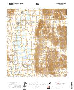
2018 Map of Table Mountain B-5 NW
USGS Topo · Published 2018About this map
Sheenjek River meanders through this interior Alaska landscape, defining a wide, lake-strewn valley before it meets more prominent topographic rises to the east. The terrain is characterized by a low-lying wetlands system, where the river's path is marked by dramatic oxbows and seasonal braiding common to subarctic drainage basins. Kuirzinjik Lake sits within this hydrologic network, surrounded by a dense cluster of unnamed ponds and smaller water bodies that suggest a highly saturated and shifting floodplain. To the east, the contour lines tighten significantly, marking the ascent into the higher elevations of the Yukon-Koyukuk Census Area. This transition from a saturated river valley to steep, high-elevation terrain illustrates the complex geographic interface within the eastern Brooks Range foothills during the early twenty-first century.
Find a feature on this map
7 named features on this map. Tap any name to fly to it.
Don’t see what you’re looking for? This feature index may not catch every label — zoom into the map to look around manually.
Map Details
Editions of this 2018 Table Mountain B-5 NW Map
This is the sole edition of this map. No revisions or reprints were ever made.
Other maps of this area

1951 · Arctic
USGS Topo · 1:250,000

1951 · Table Mountain
USGS Topo · 1:250,000

1956 · Table Mountain
USGS Topo · 1:250,000

1956 · Arctic
USGS Topo · 1:250,000

1964 · Table Mountain
USGS Topo · 1:250,000
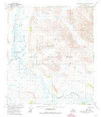
1972 · Table Mountain B-5
USGS Topo · 1:63,360
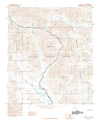
1983 · Arctic C-1
USGS Topo · 1:63,360
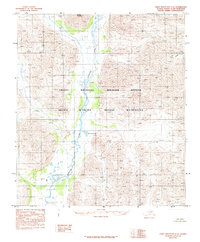
1983 · Table Mountain C-5
USGS Topo · 1:63,360
1983 · Arctic B-1
USGS Topo · 1:63,360
2018 · Arctic B-1 NE
USGS Topo · 1:25,000